
1950 Map of Arcadia
USGS Topo · Published 1960About this map
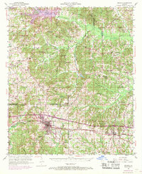
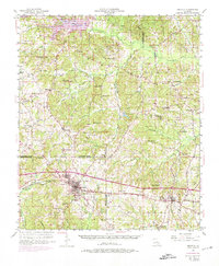
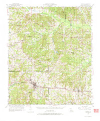
The Illinois Central railroad forms a primary east-west corridor through the piney woods of northern Louisiana, connecting the local centers of Arcadia and Simsboro. This mid-century landscape is defined by its extensive network of small rural institutions, including dozens of country schoolhouses like Alabama Sch and Harmony Sch, alongside numerous community churches such as New Providence Ch and Point Pleasant Ch.
Find a feature on this map
79 named features on this map. Tap any name to fly to it.
Don’t see what you’re looking for? This feature index may not catch every label — zoom into the map to look around manually.
Map Details
Editions of this 1950 Arcadia Map
4 editions found
Other maps of this area

1947 · Bienville
USGS Topo · 1:62,500

1948 · Jamestown
USGS Topo · 1:62,500

1949 · Jamestown
USGS Topo · 1:62,500

1949 · Bienville
USGS Topo · 1:62,500

1949 · Gibsland
USGS Topo · 1:62,500

1950 · Gibsland
USGS Topo · 1:62,500

1950 · Ruston
USGS Topo · 1:62,500

1951 · Arcadia
USGS Topo · 1:62,500

1951 · Ruston
USGS Topo · 1:62,500

1951 · Summerfield
USGS Topo · 1:62,500