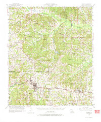
1950 Map of Arcadia
USGS Topo · Published 1974About this map
Arcadia and Simsboro anchor the southern corridor of this North Louisiana landscape, where the Illinois Central railroad follows the high ground between the Red and Ouachita River watersheds. The terrain is defined by a dense network of creek valleys and bayous, including D'Arbonne Bayou and Sugar Creek, which shaped the early settlement patterns of rural communities like Tulip, Marsalis, and Hurricane.
Find a feature on this map
60 named features on this map. Tap any name to fly to it.
Don’t see what you’re looking for? This feature index may not catch every label — zoom into the map to look around manually.
Map Details
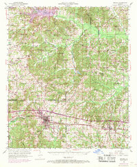
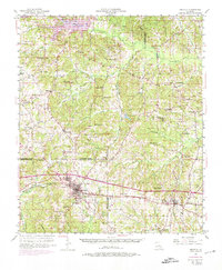
Editions of this 1950 Arcadia Map
4 editions found
Other maps of this area

1947 · Bienville
USGS Topo · 1:62,500

1948 · Jamestown
USGS Topo · 1:62,500

1949 · Jamestown
USGS Topo · 1:62,500

1949 · Bienville
USGS Topo · 1:62,500

1949 · Gibsland
USGS Topo · 1:62,500

1950 · Gibsland
USGS Topo · 1:62,500

1950 · Ruston
USGS Topo · 1:62,500

1950 · Arcadia
USGS Topo · 1:62,500

1951 · Arcadia
USGS Topo · 1:62,500

1951 · Ruston
USGS Topo · 1:62,500