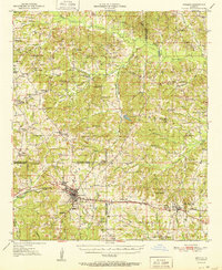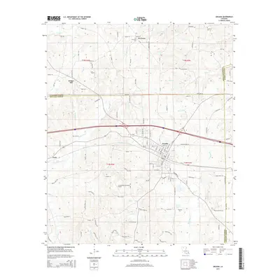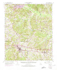
1950 Map of Arcadia
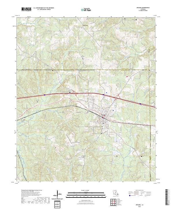
USGS Topo · Published 1974About this map
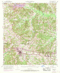
Arcadia and Simsboro anchor the southern corridor of this North Louisiana landscape, where the Illinois Central railroad defines the local transport and development pattern. This survey, photorevised in the late 1960s, documents a transition from traditional rural life to a burgeoning energy economy, evidenced by the Gas Field and numerous gas wells scattered across the hills. The terrain is deeply carved by the Middle Fork Bayou D'Arbonne and Sugar Creek, creating a network of ridges where many small communities and family landmarks persist.
Find a feature on this map
66 named features on this map. Tap any name to fly to it.
Don’t see what you’re looking for? This feature index may not catch every label — zoom into the map to look around manually.
Map Details
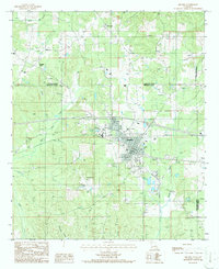
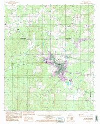
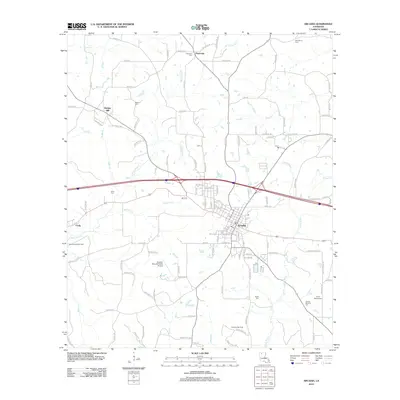
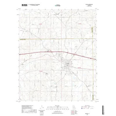
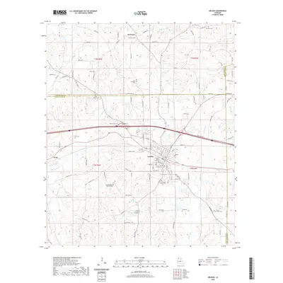
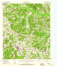
Editions of this 1950 Arcadia Map
4 editions found
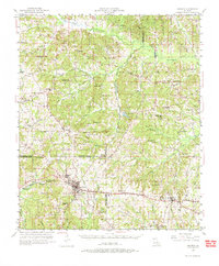
Historical Maps of Arcadia Through Time
9 maps found