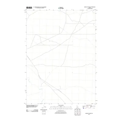
2010 Map of Hodge Station
USGS Topo · Published 2010About this map
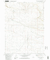
Clover Creek meanders through this portion of Owyhee County, defining the drainage patterns of a landscape marked by its openness and isolation. The terrain is traversed primarily by the Clover Three Creek Rd, a thoroughfare that suggests the remote agricultural or ranching connectivity of this southern Idaho region during the early 21st century. This 2010 survey reflects a period where specialized digital mapping by the U.S. Geological Survey was capturing the precise sparse infrastructure of the high desert, long after the primary settlement eras but prior to significant modern development in these outlying areas.
Find a feature on this map
2 named features on this map. Tap any name to fly to it.
Don’t see what you’re looking for? This feature index may not catch every label — zoom into the map to look around manually.
Map Details
Editions of this 2010 Hodge Station Map
This is the sole edition of this map. No revisions or reprints were ever made.
Other maps of this area

1955 · Twin Falls
USGS Topo · 1:250,000

1956 · Blue Butte
USGS Topo · 1:62,500

1956 · Winter Camp
USGS Topo · 1:62,500

1958 · Twin Falls
USGS Topo · 1:250,000

1979 · Stiff Tree Draw
USGS Topo · 1:24,000

1980 · Clover Butte North
USGS Topo · 1:24,000
1980 · Black Butte East
USGS Topo · 1:24,000
1980 · Juniper Ranch
USGS Topo · 1:24,000
1980 · Crows Nest Butte
USGS Topo · 1:24,000
1980 · Black Butte West
USGS Topo · 1:24,000