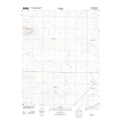
2013 Map of Hoehne
USGS Topo · Published 2013About this map
The Purgatoire River valley and its complex network of irrigation channels define this landscape in Las Animas County. The small settlement of Hoehne serves as a focal point for a region deeply tied to water management, as evidenced by the numerous engineered waterways like the Picketwire Ditch, Model Ditch, and Johns Ditch. These systems divert water from natural courses like Chicosa Arroyo to support local agriculture.
Find a feature on this map
35 named features on this map. Tap any name to fly to it.
Don’t see what you’re looking for? This feature index may not catch every label — zoom into the map to look around manually.
Map Details
Editions of this 2013 Hoehne Map
This is the sole edition of this map. No revisions or reprints were ever made.
Other maps of this area

1891 · Spanish Peaks
USGS Topo · 1:125,000

1892 · Elmoro
USGS Topo · 1:125,000

1893 · Spanish Peaks
USGS Topo · 1:125,000

1893 · Elmoro
USGS Topo · 1:125,000

1895 · Spanish Peaks
USGS Topo · 1:125,000

1897 · Elmoro
USGS Topo · 1:125,000

1897 · Spanish Peaks
USGS Topo · 1:125,000

1900 · Spanish Peaks
USGS Topo · 1:125,000

1951 · Trinidad
USGS Topo · 1:24,000

1954 · Trinidad
USGS Topo · 1:250,000