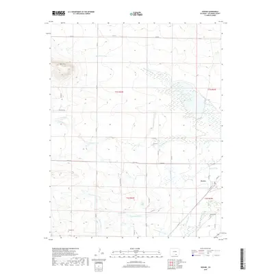
2019 Map of Hoehne
USGS Topo · Published 2019About this map
The Purgatoire River provides the vital pulse for this corner of Las Animas County, where a sophisticated network of early irrigation infrastructure defines the landscape. The settlement of Hoehne sits near the river's path, supported by an intricate system of water management including the Model Intake Canal, Model Ditch, and Hoehne Ditch. This reliance on water engineering is further evidenced by the Model Reservoir and Johns Lake, which occupy the low-lying areas between the high Black Hills and the river valley.
Find a feature on this map
44 named features on this map. Tap any name to fly to it.
Don’t see what you’re looking for? This feature index may not catch every label — zoom into the map to look around manually.
Map Details
Editions of this 2019 Hoehne Map
This is the sole edition of this map. No revisions or reprints were ever made.
Other maps of this area

1891 · Spanish Peaks
USGS Topo · 1:125,000

1892 · Elmoro
USGS Topo · 1:125,000

1893 · Spanish Peaks
USGS Topo · 1:125,000

1893 · Elmoro
USGS Topo · 1:125,000

1895 · Spanish Peaks
USGS Topo · 1:125,000

1897 · Elmoro
USGS Topo · 1:125,000

1897 · Spanish Peaks
USGS Topo · 1:125,000

1900 · Spanish Peaks
USGS Topo · 1:125,000

1951 · Trinidad
USGS Topo · 1:24,000

1954 · Trinidad
USGS Topo · 1:250,000