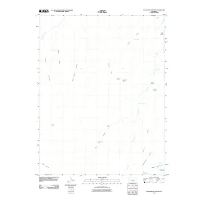
2010 Map of Hog Ranch Canyon
USGS Topo · Published 2010About this map
The Huerfano River cuts through the northwest corner of this high-plains landscape, where the geography is defined by a dense network of intermittent watercourses and deep canyons. Hog Ranch serves as the central namesake settlement in an area otherwise marked by remote ranching infrastructure. Numerous family-named landmarks suggest a history of early 20th-century homesteading, including the Finn Cemetery and several functional outposts such as the Finn Windmill and Lower Doyle Windmill.
Find a feature on this map
29 named features on this map. Tap any name to fly to it.
Don’t see what you’re looking for? This feature index may not catch every label — zoom into the map to look around manually.
Map Details
Editions of this 2010 Hog Ranch Canyon Map
This is the sole edition of this map. No revisions or reprints were ever made.
Other maps of this area

1891 · Walsenburg
USGS Topo · 1:125,000

1891 · Pueblo
USGS Topo · 1:125,000

1891 · Nepesta
USGS Topo · 1:125,000

1891 · Apishapa
USGS Topo · 1:125,000

1893 · Nepesta
USGS Topo · 1:125,000

1893 · Apishapa
USGS Topo · 1:125,000

1894 · Walsenburg
USGS Topo · 1:125,000

1894 · Pueblo
USGS Topo · 1:125,000

1896 · Pueblo
USGS Topo · 1:125,000

1897 · Pueblo
USGS Topo · 1:125,000