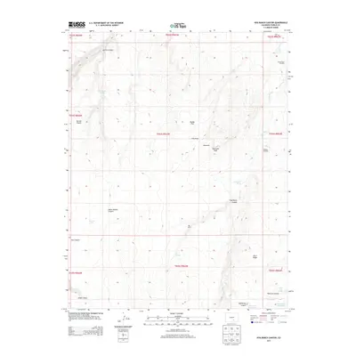
2013 Map of Hog Ranch Canyon
USGS Topo · Published 2013About this map
The Huerfano River flows across this high plains landscape of Pueblo County, carving through a series of significant canyons and draws. The geography is defined by prominent landmarks such as Sawtooth Peak and the expansive Black Ridge, with water sources concentrated at Salt Spring, Hog Springs, and Karrick Spring. Settlement patterns center on the Hog Ranch area, reflecting the region's ranching heritage, further evidenced by the Lower Doyle Windmill and Gallegos Windmill which supported livestock in this arid environment.
Find a feature on this map
37 named features on this map. Tap any name to fly to it.
Don’t see what you’re looking for? This feature index may not catch every label — zoom into the map to look around manually.
Map Details
Editions of this 2013 Hog Ranch Canyon Map
This is the sole edition of this map. No revisions or reprints were ever made.
Other maps of this area

1891 · Walsenburg
USGS Topo · 1:125,000

1891 · Pueblo
USGS Topo · 1:125,000

1891 · Nepesta
USGS Topo · 1:125,000

1891 · Apishapa
USGS Topo · 1:125,000

1893 · Nepesta
USGS Topo · 1:125,000

1893 · Apishapa
USGS Topo · 1:125,000

1894 · Walsenburg
USGS Topo · 1:125,000

1894 · Pueblo
USGS Topo · 1:125,000

1896 · Pueblo
USGS Topo · 1:125,000

1897 · Pueblo
USGS Topo · 1:125,000