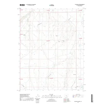
2019 Map of Hog Ranch Canyon
USGS Topo · Published 2019About this map
The Huerfano River flows across the northern edge of this Pueblo County landscape, carving through a region defined by complex drainage patterns and isolated water sources. Ranching history is evident in the names of natural features and small-scale water management projects, such as Gallegos Reservoir, Peterson Reservoir, and the Homestead Reservoir found in the southeastern corner. The terrain is marked by prominent ridges and draws, including Sawtooth Peak and the high ground of Black Ridge. Local history is anchored by the Finn Cem in the northeast, while the nomenclature of the land—Horse Pasture Canyon, Karrick Pocket, and Hog Ranch Canyon—suggests a long-standing reliance on the scattered springs like Salt Spring and Hog Springs for livestock and settlement in this arid environment.
Find a feature on this map
34 named features on this map. Tap any name to fly to it.
Don’t see what you’re looking for? This feature index may not catch every label — zoom into the map to look around manually.
Map Details
Editions of this 2019 Hog Ranch Canyon Map
This is the sole edition of this map. No revisions or reprints were ever made.
Other maps of this area

1891 · Walsenburg
USGS Topo · 1:125,000

1891 · Pueblo
USGS Topo · 1:125,000

1891 · Nepesta
USGS Topo · 1:125,000

1891 · Apishapa
USGS Topo · 1:125,000

1893 · Nepesta
USGS Topo · 1:125,000

1893 · Apishapa
USGS Topo · 1:125,000

1894 · Walsenburg
USGS Topo · 1:125,000

1894 · Pueblo
USGS Topo · 1:125,000

1896 · Pueblo
USGS Topo · 1:125,000

1897 · Pueblo
USGS Topo · 1:125,000