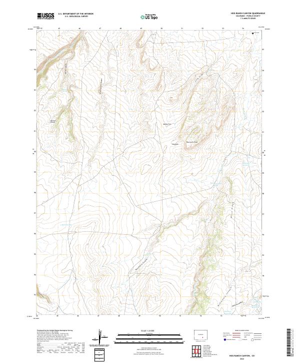
2022 Map of Hog Ranch Canyon
USGS Topo · Published 2022About this map
Hog Ranch Canyon cuts through this high-altitude landscape of Pueblo County, where seasonal drainages and isolated springs define the local geography. The area's water management is evident through several small impoundments such as Gaalegos Reservoir, Peterson Reservoir, and Homestead Reservoir, which likely support the ranching operations that give the canyon its name. The Huerfano River touches the northern reaches, while the terrain transitions into prominent landmarks like Sawtooth Peak and the elevated stretch of Black Ridge.
Find a feature on this map
34 named features on this map. Tap any name to fly to it.
Don’t see what you’re looking for? This feature index may not catch every label — zoom into the map to look around manually.
Map Details
Editions of this 2022 Hog Ranch Canyon Map
This is the sole edition of this map. No revisions or reprints were ever made.
Other maps of this area

1891 · Walsenburg
USGS Topo · 1:125,000

1891 · Pueblo
USGS Topo · 1:125,000

1891 · Nepesta
USGS Topo · 1:125,000

1891 · Apishapa
USGS Topo · 1:125,000

1893 · Nepesta
USGS Topo · 1:125,000

1893 · Apishapa
USGS Topo · 1:125,000

1894 · Walsenburg
USGS Topo · 1:125,000

1894 · Pueblo
USGS Topo · 1:125,000

1896 · Pueblo
USGS Topo · 1:125,000

1897 · Pueblo
USGS Topo · 1:125,000