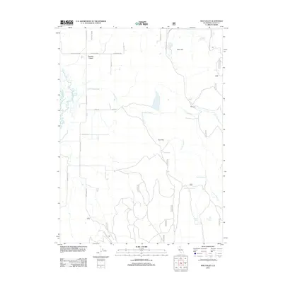
2012 Map of Hog Valley
USGS Topo · Published 2012About this map
Pumpkin Center sits at the intersection of a rural road network in this northern Lassen County landscape, where the flatlands meet the rising elevations of Indian Peak. This area is defined by its water management and natural springs, illustrated by the Big Valley Canal and the meandering Pit River in the west. The landscape transitions into Hog Valley, a region marked by numerous family-named water sources and ranching landmarks.
Find a feature on this map
38 named features on this map. Tap any name to fly to it.
Don’t see what you’re looking for? This feature index may not catch every label — zoom into the map to look around manually.
Map Details
Editions of this 2012 Hog Valley Map
This is the sole edition of this map. No revisions or reprints were ever made.
Other maps of this area

1886 · Alturas
USGS Topo · 1:250,000

1886 · Honey Lake
USGS Topo · 1:250,000

1886 · Lassen Peak
USGS Topo · 1:250,000

1886 · Modoc Lava Bed
USGS Topo · 1:250,000

1891 · Honey Lake
USGS Topo · 1:250,000

1892 · Modoc Lava-Bed
USGS Topo · 1:250,000

1892 · Lassen Peak
USGS Topo · 1:250,000

1892 · Alturas
USGS Topo · 1:250,000

1893 · Honey Lake
USGS Topo · 1:250,000

1894 · Lassen Peak
USGS Topo · 1:250,000