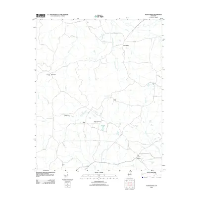
2012 Map of Hohenlinden
USGS Topo · Published 2012About this map
Hohenlinden and the surrounding rural communities of Montevista, Fame, and Clarkson anchor this survey of the northern Mississippi landscape. The area is defined by a dense network of watercourses, with Little Topashaw Cr and Dry Cr cutting through the northern reaches, while the southern terrain is dominated by the Big Black River. Genealogists will find a significant number of small family and community burial grounds, including Ball Cem, Cross Roads Cem, and Hebron Cem, which are scattered throughout the hills. The Webster Lookout Tower stands as a prominent man-made landmark near the center of the sheet, overlooking the Beasley Hills. This 2012 map captures the modern distribution of rural homesteads and county roads that have evolved from earlier settlement patterns along the river bottomlands and ridge tops like those near Savannah Lake.
Find a feature on this map
65 named features on this map. Tap any name to fly to it.
Don’t see what you’re looking for? This feature index may not catch every label — zoom into the map to look around manually.
Map Details
Editions of this 2012 Hohenlinden Map
This is the sole edition of this map. No revisions or reprints were ever made.
Other maps of this area

1953 · Walthall
USGS Topo · 1:62,500

1953 · West Point
USGS Topo · 1:250,000

1954 · Pittsboro
USGS Topo · 1:62,500

1958 · West Point
USGS Topo · 1:250,000

1963 · West Point
USGS Topo · 1:250,000

1972 · Maben
USGS Topo · 1:24,000

1972 · Atlanta
USGS Topo · 1:24,000

1972 · Sapa
USGS Topo · 1:24,000

1972 · Hohenlinden
USGS Topo · 1:24,000

1972 · Mantee
USGS Topo · 1:24,000