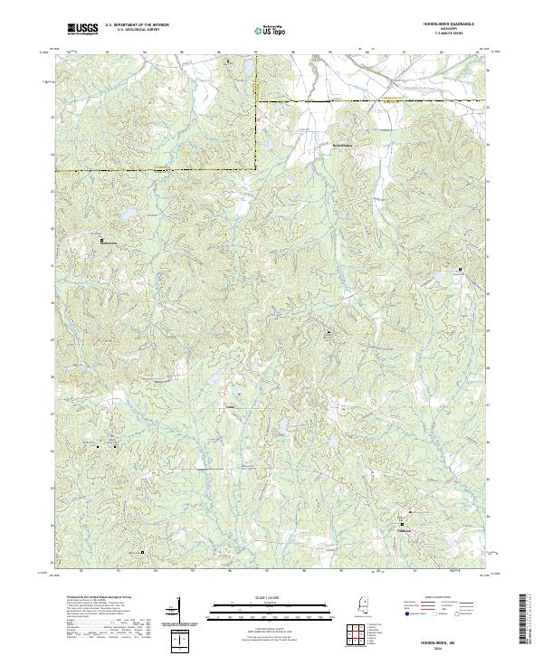
2024 Map of Hohenlinden
USGS Topo · Published 2024About this map
Hohenlinden and Montevista anchor this rural landscape in north-central Mississippi, where the boundaries of Calhoun, Chickasaw, and Webster counties converge. The terrain is defined by the headwaters of the Big Black River and the winding course of the Topashaw Creek Canal, which manage the drainage of this hilly region. Small, community-centered settlements like Fame and Clarkson are interconnected by a dense network of country roads, reflecting a long-standing agricultural and timber-based economy.
Find a feature on this map
92 named features on this map. Tap any name to fly to it.
Don’t see what you’re looking for? This feature index may not catch every label — zoom into the map to look around manually.
Map Details
Editions of this 2024 Hohenlinden Map
This is the sole edition of this map. No revisions or reprints were ever made.
Other maps of this area

1953 · Walthall
USGS Topo · 1:62,500

1953 · West Point
USGS Topo · 1:250,000

1954 · Pittsboro
USGS Topo · 1:62,500

1958 · West Point
USGS Topo · 1:250,000

1963 · West Point
USGS Topo · 1:250,000

1972 · Maben
USGS Topo · 1:24,000

1972 · Atlanta
USGS Topo · 1:24,000

1972 · Sapa
USGS Topo · 1:24,000

1972 · Hohenlinden
USGS Topo · 1:24,000

1972 · Mantee
USGS Topo · 1:24,000