Loading...
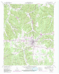
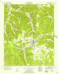
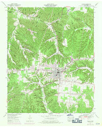
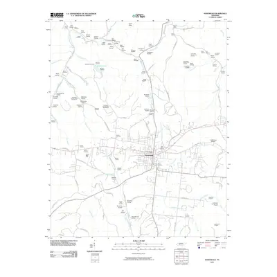
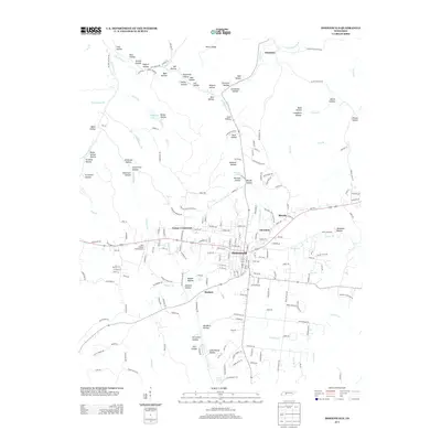
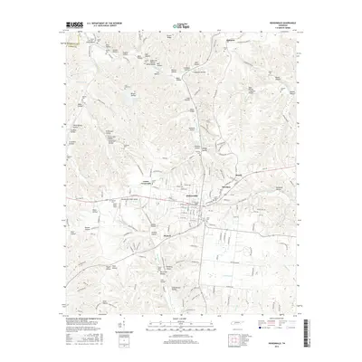
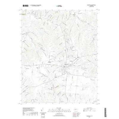
Loading map...1951 Map of Hohenwald
USGS Topo · Published 1992About this map
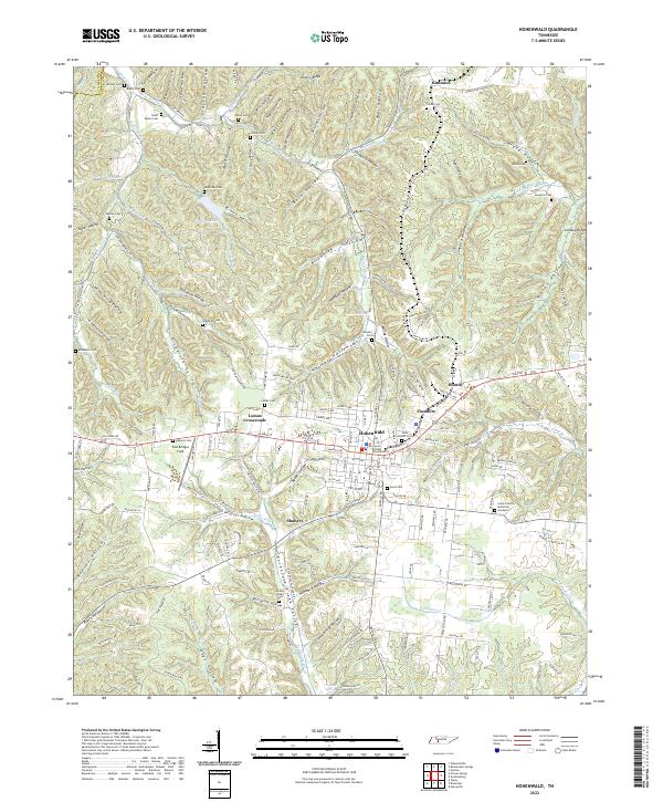
The ridge and hollow landscape of Lewis County defines this mid-century survey, centered on the growth of Hohenwald. The town layout reflects its role as a regional hub, featuring a Vocational Sch, County High Sch, and a Substation. The surrounding terrain is deeply etched by a network of drainage ways including Cane Creek and Grinders Creek, with numerous family-named hollows like Wildcat Hollow and Newberg Hollow indicating long-established settlement patterns in the Tennessee timberlands.
Find a feature on this map
73 named features on this map. Tap any name to fly to it.
Don’t see what you’re looking for? This feature index may not catch every label — zoom into the map to look around manually.
Map Details
Date Portrayed1951
Date Published1992
PublisherU.S. Geological Survey
Map TypeTopographic
Scale1:24,000
Physical Dimensions22 x 27.5 inches
Editions of this 1951 Hohenwald Map
3 editions found
Historical Maps of Hohenwald Through Time
7 maps found
Featured Locations
Source Details
SourceU.S. Geological Survey
CopyrightPublic Domain