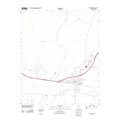
2011 Map of Holbrook
USGS Topo · Published 2011About this map
Holbrook sits at the convergence of vital High Desert waterways and modern transportation corridors in this 2011 survey. The Little Colorado River defines the southern reach of the town, joined by numerous seasonal drainages including Leroux Wash, Tanner Wash, and Fivemile Wash. This arid landscape is characterized by expansive features like Chamisa Flat and Perkins Valley, where the terrain gives way to the structured layout of the Navajo County seat. The map documents the city's infrastructure, from the Holbrook Municipal Airport in the northeast to the Navajo County Fairgrounds and the Holbrook Post Office in the central district. Settlement patterns follow the river and the West Holbrook Interchange, showing how the community has organized itself around the intersection of water and interstate transit. To the south, features like Porter Tank Draw indicate the more remote, ranching-oriented character of the surrounding desert.
Find a feature on this map
37 named features on this map. Tap any name to fly to it.
Don’t see what you’re looking for? This feature index may not catch every label — zoom into the map to look around manually.
Map Details
Editions of this 2011 Holbrook Map
This is the sole edition of this map. No revisions or reprints were ever made.
Other maps of this area

1883 · Tusayan
USGS Topo · 1:250,000

1886 · Tusayan
USGS Topo · 1:250,000

1886 · Holbrook
USGS Topo · 1:250,000

1893 · Holbrook
USGS Topo · 1:250,000

1947 · Flagstaff
USGS Topo · 1:250,000

1954 · Flagstaff
USGS Topo · 1:250,000

1954 · Holbrook
USGS Topo · 1:250,000

1955 · St. Joseph 1 NE
USGS Topo · 1:24,000

1955 · St. Joseph 2 SE
USGS Topo · 1:24,000

1955 · St. Joseph 1 SE
USGS Topo · 1:24,000
Featured Places
- Holbrook, AZ
- Sierra Plaza subdivision, Holbrook
- Clearview Heights, Holbrook
- Lisitzky Subdivision, Holbrook
- Rosedale Heights, Holbrook