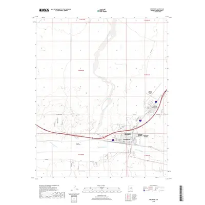
2018 Map of Holbrook
USGS Topo · Published 2018About this map
Holbrook serves as the central hub of this Navajo County landscape, situated along the banks of the Little Colorado River. The town's modern residential character is defined by several distinct neighborhoods, including the Sierra Plaza Subdivision, Rosedale Heights, and Clearview Heights. Higher education is represented by the presence of Northland Pioneer College, while local aviation is served by the Holbrook Municipal Airport to the northeast.
Find a feature on this map
57 named features on this map. Tap any name to fly to it.
Don’t see what you’re looking for? This feature index may not catch every label — zoom into the map to look around manually.
Map Details
Editions of this 2018 Holbrook Map
This is the sole edition of this map. No revisions or reprints were ever made.
Other maps of this area

1883 · Tusayan
USGS Topo · 1:250,000

1886 · Tusayan
USGS Topo · 1:250,000

1886 · Holbrook
USGS Topo · 1:250,000

1893 · Holbrook
USGS Topo · 1:250,000

1947 · Flagstaff
USGS Topo · 1:250,000

1954 · Flagstaff
USGS Topo · 1:250,000

1954 · Holbrook
USGS Topo · 1:250,000

1955 · St. Joseph 1 NE
USGS Topo · 1:24,000

1955 · St. Joseph 2 SE
USGS Topo · 1:24,000

1955 · St. Joseph 1 SE
USGS Topo · 1:24,000
Featured Places
- Holbrook, AZ
- Sierra Plaza subdivision, Holbrook
- Clearview Heights, Holbrook
- Lisitzky Subdivision, Holbrook
- Rosedale Heights, Holbrook