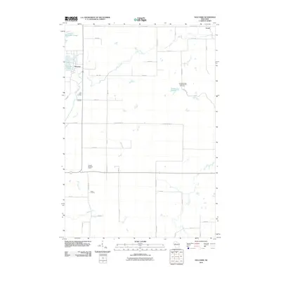
2010 Map of Holcombe
USGS Topo · Published 2010About this map
Holcombe Flowage and the Chippewa River dominate this 2010 landscape in northern Chippewa County, where the settlement of Holcombe sits near the confluence of the Fisher River. The area is characterized by an intricate network of waterways, including Buck Creek, Beaver Creek, and French Creek, which feed into the larger flowages. Local history is anchored by several long-standing burial grounds such as Saint Joseph Cemetery, Holcombe Cemetery, and Estella Cemetery, providing valuable points of reference for genealogists. The southern portion of the map is marked by the Cornell Municipal Airport and the winding course of Hay Creek. To the northeast, the smaller settlement of Arnold sits near the headwaters of Beaver Creek, while the Mallard Flowage and the County Forest Crop Land 6 G 1137.1 Dam reflect the region's managed water resources and conservation lands.
Find a feature on this map
48 named features on this map. Tap any name to fly to it.
Don’t see what you’re looking for? This feature index may not catch every label — zoom into the map to look around manually.
Map Details
Editions of this 2010 Holcombe Map
This is the sole edition of this map. No revisions or reprints were ever made.
Other maps of this area

1947 · Sheldon
USGS Topo · 1:48,000

1948 · Ladysmith
USGS Topo · 1:48,000

1949 · Sheldon
USGS Topo · 1:48,000

1950 · Ladysmith
USGS Topo · 1:48,000

1951 · Cornell
USGS Topo · 1:62,500

1951 · Gilman
USGS Topo · 1:62,500

1953 · Rice Lake
USGS Topo · 1:250,000

1959 · Rice Lake
USGS Topo · 1:250,000
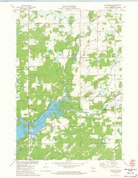
1971 · Ladysmith SE
USGS Topo · 1:24,000
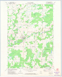
1971 · Sheldon
USGS Topo · 1:24,000