
1966 Map of Holdman
USGS Topo · Published 1967About this map
Holdman serves as the focal point for this 1960s agricultural region in Umatilla County, characterized by a series of deep drainage systems that have shaped the local landscape. The settlement, marked by its Holdman Cem and a prominent Grain Elevator, sits at the convergence of several significant geographic features, including Cold Springs Canyon and the South Fork. The economy of the era is clearly defined by grain infrastructure, with Storage Bins and elevators situated near transportation routes to manage the harvest from the surrounding plateau.
Find a feature on this map
14 named features on this map. Tap any name to fly to it.
Don’t see what you’re looking for? This feature index may not catch every label — zoom into the map to look around manually.
Map Details
Editions of this 1966 Holdman Map
This is the sole edition of this map. No revisions or reprints were ever made.
Other maps of this area

1908 · Umatilla
USGS Topo · 1:125,000

1935 · Pendleton
USGS Topo · 1:125,000

1953 · Pendleton
USGS Topo · 1:250,000

1956 · Pendleton
USGS Topo · 1:250,000

1962 · Juniper
USGS Topo · 1:24,000

1962 · Stanfield SE
USGS Topo · 1:24,000
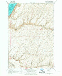
1966 · Juniper Canyon
USGS Topo · 1:24,000

1966 · Holdman SE
USGS Topo · 1:24,000

1966 · Pendleton
USGS Topo · 1:24,000
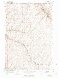
1966 · Ring
USGS Topo · 1:24,000