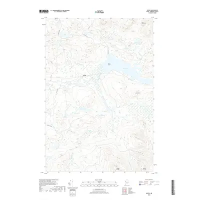
2018 Map of Holeb
USGS Topo · Published 2018About this map
The Canadian Pacific railroad cuts through the heart of the Somerset County wilderness, serving the small settlement of Holeb along its route. This landscape is defined by the winding course of the Moose River, which connects a vast network of glacial water bodies including Holeb Pond and Big Fish Pond. The presence of the railroad alongside these remote waterways highlights the historical importance of the region for timber transport and backcountry access.
Find a feature on this map
33 named features on this map. Tap any name to fly to it.
Don’t see what you’re looking for? This feature index may not catch every label — zoom into the map to look around manually.
Map Details
Editions of this 2018 Holeb Map
This is the sole edition of this map. No revisions or reprints were ever made.
Other maps of this area

1923 · Attean
USGS Topo · 1:62,500

1925 · Attean
USGS Topo · 1:62,500

1928 · Chain Lakes
USGS Topo · 1:48,000

1928 · Skinner
USGS Topo · 1:48,000

1928 · Spencer
USGS Topo · 1:48,000

1931 · Skinner
USGS Topo · 1:62,500

1932 · Spencer
USGS Topo · 1:62,500

1932 · Chain Lakes
USGS Topo · 1:62,500

1935 · Chain Lakes
USGS Topo · 1:62,500

1949 · Jackman
USGS Topo · 1:250,000
Featured Places
- Dennistown Plantation, ME
- Rayton Township, ME
- Holeb Township, ME
- Attean Township, ME
- Forsyth Township, ME