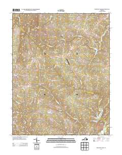
2013 Map of Holiday Lake
USGS Topo · Published 2013About this map
Appomattox Buckingham SF dominates this Central Virginia landscape, anchoring a rural region defined by small crossroads settlements and winding watercourses. The 2013 topography reveals the enduring rural character of communities such as Hollywood, Sliders, and Toga, where local roads like Old Richmond Rd and Old Grist Mill Rd hint at historic transportation corridors and early industry. To the northeast, the Slate River snakes through the terrain near Kyles Mountain, while Holiday Lake serves as a prominent recreational feature in the south, fed by Cemetery Cr and Sanders Cr. The presence of the Toga Airport and scattered locales like Fore Store and Rose Bower illustrates a pattern of sparse, locally-oriented development. Researchers can trace the drainage of the Appomattox River basin through a dense network of creeks including Fishpond Cr and Webb Mill Cr.
Find a feature on this map
74 named features on this map. Tap any name to fly to it.
Don’t see what you’re looking for? This feature index may not catch every label — zoom into the map to look around manually.
Map Details
Editions of this 2013 Holiday Lake Map
This is the sole edition of this map. No revisions or reprints were ever made.
Other maps of this area

1892 · Buckingham
USGS Topo · 1:125,000

1892 · Appomattox
USGS Topo · 1:125,000

1947 · Roanoke
USGS Topo · 1:250,000

1958 · Appomattox
USGS Topo · 1:62,500

1958 · Pamplin City
USGS Topo · 1:62,500

1959 · Roanoke
USGS Topo · 1:250,000

1961 · Shipman
USGS Topo · 1:62,500

1961 · Buckingham
USGS Topo · 1:62,500

1963 · Roanoke
USGS Topo · 1:250,000

1967 · Andersonville
USGS Topo · 1:24,000