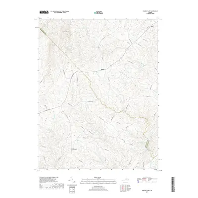
2019 Map of Holiday Lake
USGS Topo · Published 2019About this map
Hollywood and Sliders anchor this rural landscape in central Virginia, where the boundary between Buckingham and Appomattox counties follows the winding course of the Holiday Creek drainage. The terrain is defined by a dense network of small waterways, including Webb Mill Creek and Stevens Run, which feed into the Appomattox River in the southeastern corner. Higher elevations are marked by Gunner Mountain and Kyles Mountain to the northwest, providing a sharp contrast to the lowlands surrounding Holiday Lake.
Find a feature on this map
59 named features on this map. Tap any name to fly to it.
Don’t see what you’re looking for? This feature index may not catch every label — zoom into the map to look around manually.
Map Details
Editions of this 2019 Holiday Lake Map
This is the sole edition of this map. No revisions or reprints were ever made.
Other maps of this area

1892 · Buckingham
USGS Topo · 1:125,000

1892 · Appomattox
USGS Topo · 1:125,000

1947 · Roanoke
USGS Topo · 1:250,000

1958 · Appomattox
USGS Topo · 1:62,500

1958 · Pamplin City
USGS Topo · 1:62,500

1959 · Roanoke
USGS Topo · 1:250,000

1961 · Shipman
USGS Topo · 1:62,500

1961 · Buckingham
USGS Topo · 1:62,500

1963 · Roanoke
USGS Topo · 1:250,000

1967 · Andersonville
USGS Topo · 1:24,000