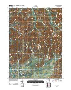
2011 Map of Holland
USGS Topo · Published 2011About this map
Holland and Bridgeview anchor the southern reaches of this landscape in the Illinois Valley, where the East Fork Illinois River and its numerous tributaries descend through the Siskiyou Mountains. The drainage network is particularly dense here, with Sucker Creek, Kelly Creek, and McMullin Creek carving out distinct drainages and gulches such as Peterson Gulch and Green Gulch. This 2011 survey documents a mix of rural ranching and aviation, notably the Villair Ranch and the B Bar Ranch Airport in the north.
Find a feature on this map
75 named features on this map. Tap any name to fly to it.
Don’t see what you’re looking for? This feature index may not catch every label — zoom into the map to look around manually.
Map Details
Editions of this 2011 Holland Map
This is the sole edition of this map. No revisions or reprints were ever made.
Other maps of this area

1908 · Grants Pass
USGS Topo · 1:125,000

1917 · Kerby
USGS Topo · 1:125,000

1918 · Kerby
USGS Topo · 1:125,000

1945 · Kerby
USGS Topo · 1:125,000

1954 · Cave Junction
USGS Topo · 1:62,500

1954 · Oregon Caves
USGS Topo · 1:62,500

1954 · Selma
USGS Topo · 1:62,500

1954 · Grants Pass
USGS Topo · 1:62,500

1955 · Medford
USGS Topo · 1:250,000

1957 · Medford
USGS Topo · 1:250,000