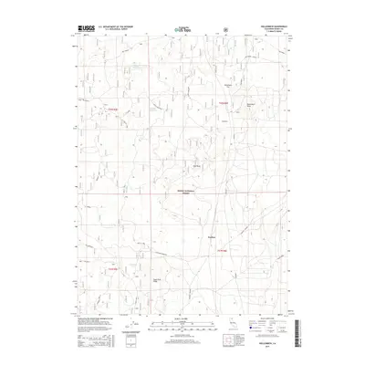
2015 Map of Hollenbeck
USGS Topo · Published 2015About this map
Modoc National Forest dominates this northern California landscape, defined by a complex network of volcanic features and isolated water sources. The terrain is marked by significant rises like Hollenbeck Butte and the elongated Sugar Pine Ridge, while lower elevations such as Hollenbeck Flat suggest the dry, high-desert character of the region. Water management is a central theme of this 2015 survey, evidenced by numerous named springs and reservoirs including Chuckwagon Spring, Crystal Waterhole, and Mud Spring. A history of resource extraction and timber management is visible through the extensive system of forestry and access roads. Named tracks like Loveness Logging, Old Round Mtn, and Long Bell trace the movement of labor and machinery through the high country. Isolated locations such as Manuals Camp and Scarface further emphasize the specialized land use within this portion of the forest.
Find a feature on this map
28 named features on this map. Tap any name to fly to it.
Don’t see what you’re looking for? This feature index may not catch every label — zoom into the map to look around manually.
Map Details
Editions of this 2015 Hollenbeck Map
This is the sole edition of this map. No revisions or reprints were ever made.
Other maps of this area

1886 · Modoc Lava Bed
USGS Topo · 1:250,000

1892 · Modoc Lava-Bed
USGS Topo · 1:250,000

1952 · Timber Mountain
USGS Topo · 1:62,500

1952 · Hackamore
USGS Topo · 1:62,500

1954 · Alturas
USGS Topo · 1:250,000

1958 · Alturas
USGS Topo · 1:250,000

1962 · Alturas
USGS Topo · 1:250,000

1962 · Crank Mountain
USGS Topo · 1:62,500

1962 · White Horse
USGS Topo · 1:62,500

1965 · Alturas
USGS Topo · 1:250,000