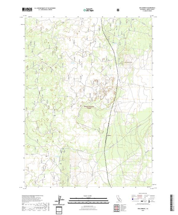
2022 Map of Hollenbeck
USGS Topo · Published 2022About this map
Modoc National Forest encompasses the majority of this landscape, a volcanic and high-desert terrain defined by ephemeral water sources and distinct geological formations. The topography is marked by notable elevations such as Hollenbeck Butte and the long, sloping expanse of Sugar Pine Ridge. Water management in this arid environment is reflected in the numerous named catchments, including Crystal Waterhole, Big Waterhole, and Dustys Waterhole, which historically supported livestock and wildlife in the high country.
Find a feature on this map
25 named features on this map. Tap any name to fly to it.
Don’t see what you’re looking for? This feature index may not catch every label — zoom into the map to look around manually.
Map Details
Editions of this 2022 Hollenbeck Map
This is the sole edition of this map. No revisions or reprints were ever made.
Other maps of this area

1886 · Modoc Lava Bed
USGS Topo · 1:250,000

1892 · Modoc Lava-Bed
USGS Topo · 1:250,000

1952 · Timber Mountain
USGS Topo · 1:62,500

1952 · Hackamore
USGS Topo · 1:62,500

1954 · Alturas
USGS Topo · 1:250,000

1958 · Alturas
USGS Topo · 1:250,000

1962 · Alturas
USGS Topo · 1:250,000

1962 · Crank Mountain
USGS Topo · 1:62,500

1962 · White Horse
USGS Topo · 1:62,500

1965 · Alturas
USGS Topo · 1:250,000