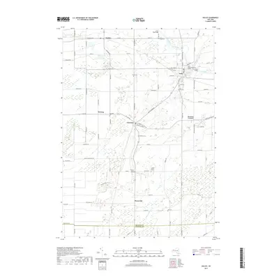
2019 Map of Holley
USGS Topo · Published 2019About this map
Holley and the surrounding agricultural landscapes of Orleans and Genesee Counties are defined by the presence of the Erie Canal, which cuts through the northeastern corner of the map. This area of Western New York demonstrates a persistent rural settlement pattern where clusters like Clarendon, Fancher, and Manning are interconnected by a dense grid of local roads and county routes. The terrain is marked by the winding path of E Br Sandy Cr and the drainage of Manning Muckland Cr, reflecting the region’s importance as a fertile muckland farming district.
Find a feature on this map
84 named features on this map. Tap any name to fly to it.
Don’t see what you’re looking for? This feature index may not catch every label — zoom into the map to look around manually.
Map Details
Editions of this 2019 Holley Map
This is the sole edition of this map. No revisions or reprints were ever made.
Other maps of this area

1897 · Albion
USGS Topo · 1:62,500

1897 · Oak Orchard
USGS Topo · 1:62,500

1899 · Hamlin
USGS Topo · 1:62,500

1899 · Brockport
USGS Topo · 1:62,500

1932 · Hamlin
USGS Topo · 1:24,000

1934 · Brockport
USGS Topo · 1:24,000

1935 · Churchville
USGS Topo · 1:24,000

1935 · Hamlin
USGS Topo · 1:24,000

1944 · Churchville
USGS Topo · 1:31,680

1944 · Holley
USGS Topo · 1:31,680