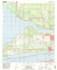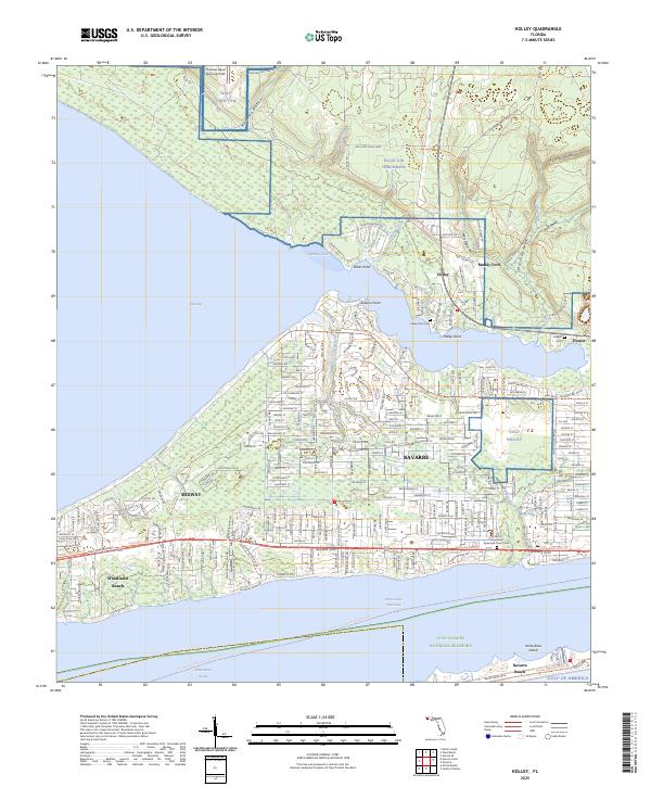
2025 Map of Holley
USGS Topo · Published 2025About this map
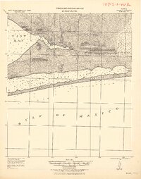
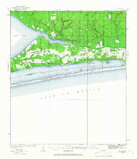
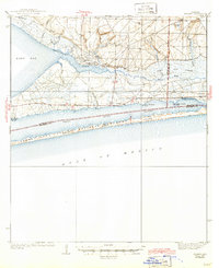
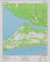
Santa Rosa Island and the coastal communities of Santa Rosa County are defined here by a mix of military installations and protected natural landscapes. The presence of NOLF Holley and NOLF Choctaw signifies the strategic importance of the corridor between Eglin Air Force Base and the coast. Residential development is concentrated along the Gulf Breeze Pkwy and Navarre Pkwy, connecting established settlements like Midway and Woodlawn Beach to the newer reaches of Navarre. Genealogists will find interest in several local burial grounds, including Holley Point Cem and the Saint Augustines Episcopal Church Cem. The southern edge of the map transition into the Gulf Islands National Seashore, preserving the shoreline across the Santa Rosa Sound.
Find a feature on this map
41 named features on this map. Tap any name to fly to it.
Don’t see what you’re looking for? This feature index may not catch every label — zoom into the map to look around manually.
Map Details
Editions of this 2025 Holley Map
This is the sole edition of this map. No revisions or reprints were ever made.
Historical Maps of Escambia County Through Time
6 maps found