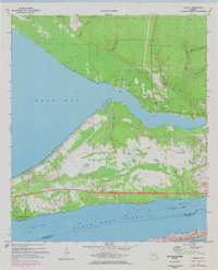
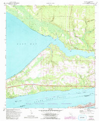
1970 Map of Holley
USGS Topo · Published 1997About this map
Eglin Air Force Base dominates the northern reaches of this coastal landscape, where the dense drainage of Poplar Creek and Dean Creek feeds into the expansive East Bay. The settlement of Holley sits at a strategic point near the narrows, supported by nearby Holley Field and the small community of Harper. Along the southern shoreline, the residential stretch of Woodlawn Beach faces the Santa Rosa Sound, a vital maritime corridor marked by the Intracoastal Waterway. This 1970s-era geography captures the region's heavy military footprint alongside traditional coastal life. Evidence of local industry and infrastructure is visible in the Sandpits near Harper and the Radio Tower installations, while the natural topography is defined by intricate tidal systems like Tom King Bayou and the high elevations of West Head and East Head.
Find a feature on this map
37 named features on this map. Tap any name to fly to it.
Don’t see what you’re looking for? This feature index may not catch every label — zoom into the map to look around manually.
Map Details
Editions of this 1970 Holley Map
5 editions found
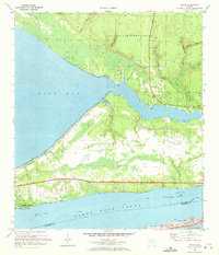
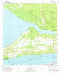
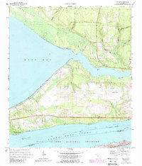
Other maps of this area

1920 · Milton
USGS Topo · 1:62,500

1921 · Holley
USGS Topo · 1:62,500

1921 · Pensacola
USGS Topo · 1:62,500

1934 · Harold
USGS Topo · 1:62,500

1936 · Holley
USGS Topo · 1:48,000

1937 · Harold
USGS Topo · 1:62,500

1938 · Holley
USGS Topo · 1:62,500

1938 · Harold
USGS Topo · 1:62,500

1941 · Pensacola
USGS Topo · 1:62,500

1941 · Milton
USGS Topo · 1:62,500