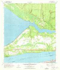
1970 Map of Holley
USGS Topo · Published 1972About this map
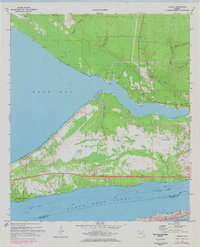
Santa Rosa Sound and East Bay dominate this coastal landscape, separated by a peninsula defined by military activity and small settlements. At the center of the peninsula sits Holley Field (Air Force OLF), reflecting the strategic importance of Eglin Air Force Base land which extends across the northern reaches. Small communities like Holley and Harper are situated near the wetlands of Dean Creek and Tom King Bayou, while Woodlawn Beach fronts the sound to the south. The map illustrates a complex hydrography where the Intracoastal Waterway cuts through the sound, flanked by the sand dunes of Santa Rosa Island. Inland, the terrain transitions from coastal tidal flats and bayous to slightly higher ground marked by sandpits and unique features like Steep Head and Watering Head, suggesting the distinctive seepage slope hydrology of the Florida panhandle.
Find a feature on this map
38 named features on this map. Tap any name to fly to it.
Don’t see what you’re looking for? This feature index may not catch every label — zoom into the map to look around manually.
Map Details
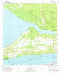
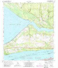
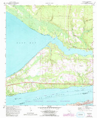
Editions of this 1970 Holley Map
5 editions found
Other maps of this area

1920 · Milton
USGS Topo · 1:62,500

1921 · Holley
USGS Topo · 1:62,500

1921 · Pensacola
USGS Topo · 1:62,500

1934 · Harold
USGS Topo · 1:62,500

1936 · Holley
USGS Topo · 1:48,000

1937 · Harold
USGS Topo · 1:62,500

1938 · Holley
USGS Topo · 1:62,500

1938 · Harold
USGS Topo · 1:62,500

1941 · Pensacola
USGS Topo · 1:62,500

1941 · Milton
USGS Topo · 1:62,500