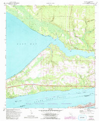
1970 Map of Holley
USGS Topo · Published 1993About this map
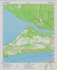
Santa Rosa Sound and the northern reaches of Santa Rosa Island define the southern landscape of this coastal survey. The map records a complex coastal geography where the Intracoastal Waterway cuts through the sound, buffered by the preserved lands of the Gulf Islands National Seashore. On the mainland, the influence of military aviation is prominent, with the extensive grounds of Eglin Air Force Base and auxiliary installations like Holley Field (Air Force OLF) and Aux Field No 10 occupying significant portions of the northern terrain.
Find a feature on this map
51 named features on this map. Tap any name to fly to it.
Don’t see what you’re looking for? This feature index may not catch every label — zoom into the map to look around manually.
Map Details
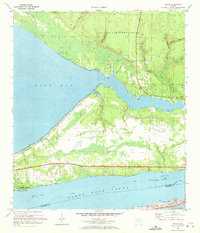
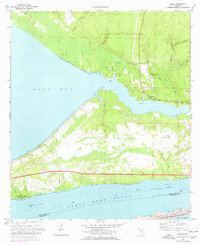
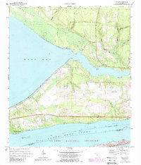
Editions of this 1970 Holley Map
5 editions found
Other maps of this area

1920 · Milton
USGS Topo · 1:62,500

1921 · Holley
USGS Topo · 1:62,500

1921 · Pensacola
USGS Topo · 1:62,500

1934 · Harold
USGS Topo · 1:62,500

1936 · Holley
USGS Topo · 1:48,000

1937 · Harold
USGS Topo · 1:62,500

1938 · Holley
USGS Topo · 1:62,500

1938 · Harold
USGS Topo · 1:62,500

1941 · Pensacola
USGS Topo · 1:62,500

1941 · Milton
USGS Topo · 1:62,500