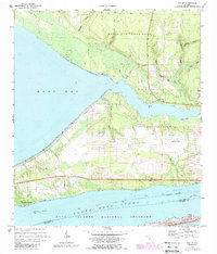
1970 Map of Holley
USGS Topo · Published 1988About this map
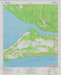
Holley and the surrounding coastal landscape are defined by an intricate network of waterways at the northern edge of the Santa Rosa Sound. This 1970s record illustrates the significant military presence in the Florida Panhandle, with substantial acreage dedicated to Eglin Air Force Base and the Holley Field (Air Force OLF). The map provides a clear look at the residential patterns in Woodlawn Beach and Harper, alongside local landmarks like the Cemetery near Holley Point. To the south, the preservation of the barrier island ecosystem is noted within the Gulf Islands National Seashore, while the Intracoastal Waterway serves as a vital artery for maritime traffic. Distinctive coastal features like Tom King Bayou and Miller Point highlight the irregular shoreline where East Bay meets the mainland.
Find a feature on this map
45 named features on this map. Tap any name to fly to it.
Don’t see what you’re looking for? This feature index may not catch every label — zoom into the map to look around manually.
Map Details
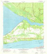
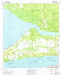
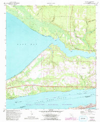
Editions of this 1970 Holley Map
5 editions found
Other maps of this area

1920 · Milton
USGS Topo · 1:62,500

1921 · Holley
USGS Topo · 1:62,500

1921 · Pensacola
USGS Topo · 1:62,500

1934 · Harold
USGS Topo · 1:62,500

1936 · Holley
USGS Topo · 1:48,000

1937 · Harold
USGS Topo · 1:62,500

1938 · Holley
USGS Topo · 1:62,500

1938 · Harold
USGS Topo · 1:62,500

1941 · Pensacola
USGS Topo · 1:62,500

1941 · Milton
USGS Topo · 1:62,500