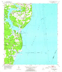
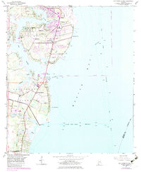
1953 Map of Hollingers Island
USGS Topo · Published 1964About this map
Brookley Air Force Base dominates the northern shoreline of this coastal survey, where the Dog River meets the western edge of Mobile Bay. The landscape shows a mix of military presence and developing recreational communities, as evidenced by the Mobile Yacht Club and the Gulf Fishing and Hunting Club. Settlement patterns follow the Louisville and Nashville railroad line and primary roads like Cedar Point Road, linking established local landmarks such as South Brookley School and Casher Cemetery. To the south, Hollingers Island is defined by its agricultural and residential character, separated from the mainland by the complex network of the Deer River and its multiple forks. The map provides a detailed view of the 1950s shoreline infrastructure, from the Dog River Bridge to the Hollingers Island Channel, illustrating the region's reliance on both rail and water transport.
Find a feature on this map
38 named features on this map. Tap any name to fly to it.
Don’t see what you’re looking for? This feature index may not catch every label — zoom into the map to look around manually.
Map Details
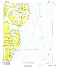
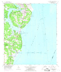
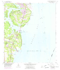
Editions of this 1953 Hollingers Island Map
5 editions found
Other maps of this area

1921 · Point Clear
USGS Topo · 1:62,500

1921 · Fairhope
USGS Topo · 1:62,500

1921 · Delchamps
USGS Topo · 1:62,500

1922 · Mobile
USGS Topo · 1:62,500

1939 · Daphne
USGS Topo · 1:31,680

1940 · Hollingers Island
USGS Topo · 1:31,680

1940 · Mobile
USGS Topo · 1:31,680

1940 · Mobile
USGS Topo · 1:62,500

1941 · Daphne
USGS Topo · 1:31,680

1941 · Cedar Point
USGS Topo · 1:62,500