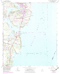
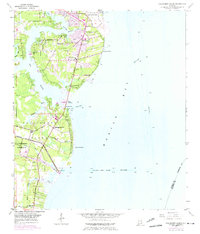
1953 Map of Hollingers Island
USGS Topo · Published 1983About this map
Mobile Bay dominates the eastern half of this coastal landscape, where the Hollingers Island Channel and Mobile Ship Channel facilitate maritime traffic into the port. On land, the transition from industrial development to tidal marsh is evident, with the Brookley Airport and the North Industrial Park highlighting the mid-century growth of the region. Local community life is anchored by several small congregations, including Nazarene Ch and New Hope Ch, while the Casher Cem provides a point of interest for genealogists tracing local families.
Find a feature on this map
37 named features on this map. Tap any name to fly to it.
Don’t see what you’re looking for? This feature index may not catch every label — zoom into the map to look around manually.
Map Details
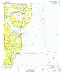
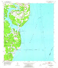
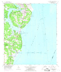
Editions of this 1953 Hollingers Island Map
5 editions found
Other maps of this area

1921 · Point Clear
USGS Topo · 1:62,500

1921 · Fairhope
USGS Topo · 1:62,500

1921 · Delchamps
USGS Topo · 1:62,500

1922 · Mobile
USGS Topo · 1:62,500

1939 · Daphne
USGS Topo · 1:31,680

1940 · Hollingers Island
USGS Topo · 1:31,680

1940 · Mobile
USGS Topo · 1:31,680

1940 · Mobile
USGS Topo · 1:62,500

1941 · Daphne
USGS Topo · 1:31,680

1941 · Cedar Point
USGS Topo · 1:62,500