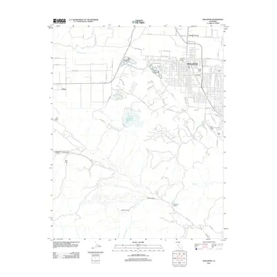
2012 Map of Hollister
USGS Topo · Published 2012About this map
The agricultural and viticultural landscape of Hollister dominates this 2012 study, where the town's grid meets the surrounding valley floor. Local industry is clearly marked by the presence of Ozeki San Benito Winery and San Benito Vineyards, reflecting the region's long-standing connection to commercial winemaking. Beyond the city center, the landscape transitions into more specialized areas such as the San Benito County Labor Camp and the spiritual grounds of the Saint Francis Retreat.
Find a feature on this map
63 named features on this map. Tap any name to fly to it.
Don’t see what you’re looking for? This feature index may not catch every label — zoom into the map to look around manually.
Map Details
Editions of this 2012 Hollister Map
This is the sole edition of this map. No revisions or reprints were ever made.
Other maps of this area

1910 · Salinas
USGS Topo · 1:31,680

1912 · Salinas
USGS Topo · 1:62,500

1915 · San Juan Bautista
USGS Topo · 1:48,000

1917 · San Juan Bautista
USGS Topo · 1:62,500

1919 · Hollister
USGS Topo · 1:48,000

1921 · Gonzales
USGS Topo · 1:62,500

1921 · Hollister
USGS Topo · 1:62,500

1923 · Hollister
USGS Topo · 1:62,500

1939 · San Juan Bautista
USGS Topo · 1:62,500

1940 · San Juan Bautista
USGS Topo · 1:62,500