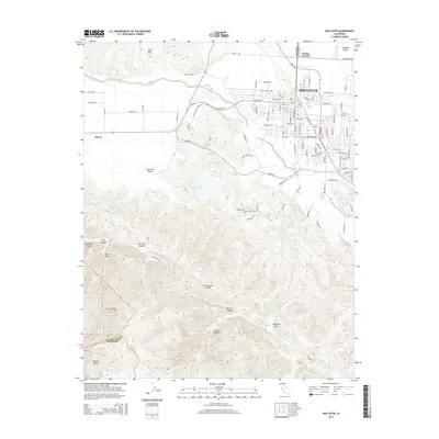
2015 Map of Hollister
USGS Topo · Published 2015About this map
The Hollister townsite serves as the primary hub of this Central California landscape, situated where the Hollister Valley meets the northern reaches of the Gabilan Range. To the west, the San Andreas Fault cuts a distinct line through the topography, separating the rugged elevations of the range from the agricultural expanses of the San Juan Valley. The San Benito River flows across the northern section of the map, passing near the small settlement of Cottage Corners and the local landmark of Morse. Cultural and natural landmarks are scattered throughout the varying terrain, from the Calvary Cemetery on the edge of town to the isolated San Justo Reservoir. This survey provides a clear view of the region's complex geology, including named features like Hell Hole, Steinbeck Canyon, and Azalea Canyon, illustrating the relationship between the active fault line and the surrounding valley development.
Find a feature on this map
114 named features on this map. Tap any name to fly to it.
Don’t see what you’re looking for? This feature index may not catch every label — zoom into the map to look around manually.
Map Details
Editions of this 2015 Hollister Map
This is the sole edition of this map. No revisions or reprints were ever made.
Other maps of this area
1910 · Salinas
USGS Topo · 1:31,680
1912 · Salinas
USGS Topo · 1:62,500
1915 · San Juan Bautista
USGS Topo · 1:48,000
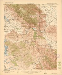
1917 · San Juan Bautista
USGS Topo · 1:62,500
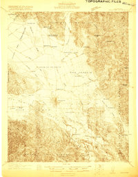
1919 · Hollister
USGS Topo · 1:48,000
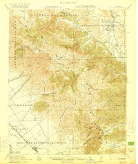
1921 · Gonzales
USGS Topo · 1:62,500
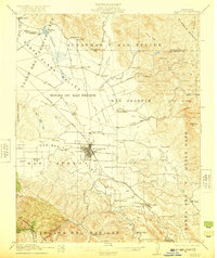
1921 · Hollister
USGS Topo · 1:62,500
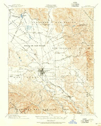
1923 · Hollister
USGS Topo · 1:62,500
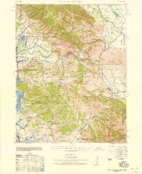
1939 · San Juan Bautista
USGS Topo · 1:62,500
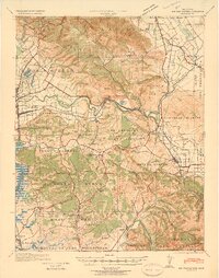
1940 · San Juan Bautista
USGS Topo · 1:62,500