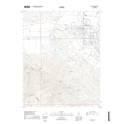
2018 Map of Hollister
USGS Topo · Published 2018About this map
The Hollister townsite occupies the northeastern corner of this study, sitting at the edge of the Hollister Valley where the landscape begins its dramatic rise into the Gabilan Range. To the south and west, the terrain is defined by a dense network of canyons and gulches, including Steinbeck Canyon, Peak Canyon, and the curiously named Hell Hole. A critical geological marker, the San Andreas Fault, cuts diagonally across the southern hills, tracing a path through the North Canyon and near Azalea Canyon.
Find a feature on this map
111 named features on this map. Tap any name to fly to it.
Don’t see what you’re looking for? This feature index may not catch every label — zoom into the map to look around manually.
Map Details
Editions of this 2018 Hollister Map
This is the sole edition of this map. No revisions or reprints were ever made.
Other maps of this area
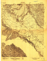
1910 · Salinas
USGS Topo · 1:31,680
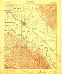
1912 · Salinas
USGS Topo · 1:62,500
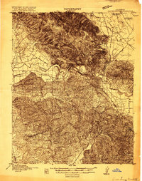
1915 · San Juan Bautista
USGS Topo · 1:48,000
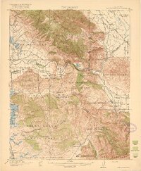
1917 · San Juan Bautista
USGS Topo · 1:62,500
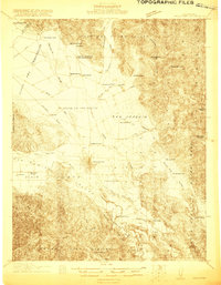
1919 · Hollister
USGS Topo · 1:48,000
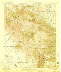
1921 · Gonzales
USGS Topo · 1:62,500
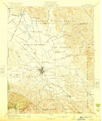
1921 · Hollister
USGS Topo · 1:62,500
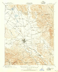
1923 · Hollister
USGS Topo · 1:62,500
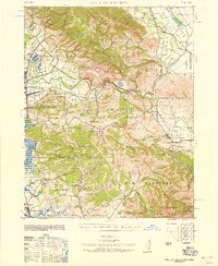
1939 · San Juan Bautista
USGS Topo · 1:62,500
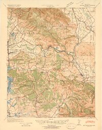
1940 · San Juan Bautista
USGS Topo · 1:62,500