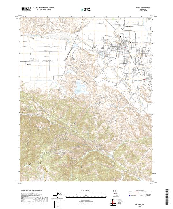
2021 Map of Hollister
USGS Topo · Published 2021About this map
Hollister serves as the central hub of this Central Coast survey, positioned where the Hollister Valley meets the northern reaches of the Gabilan Range. The urban layout is marked by civic and educational landmarks, including the San Benito County Superior Court and the Gavilán College Hollister Campus. Just outside the city grid, legacy sites like the Odd Fellows Cem and Calvary Cem offer points of interest for genealogists tracing local families.
Find a feature on this map
132 named features on this map. Tap any name to fly to it.
Don’t see what you’re looking for? This feature index may not catch every label — zoom into the map to look around manually.
Map Details
Editions of this 2021 Hollister Map
This is the sole edition of this map. No revisions or reprints were ever made.
Other maps of this area

1910 · Salinas
USGS Topo · 1:31,680

1912 · Salinas
USGS Topo · 1:62,500

1915 · San Juan Bautista
USGS Topo · 1:48,000

1917 · San Juan Bautista
USGS Topo · 1:62,500

1919 · Hollister
USGS Topo · 1:48,000

1921 · Gonzales
USGS Topo · 1:62,500

1921 · Hollister
USGS Topo · 1:62,500

1923 · Hollister
USGS Topo · 1:62,500

1939 · San Juan Bautista
USGS Topo · 1:62,500

1940 · San Juan Bautista
USGS Topo · 1:62,500