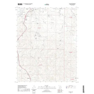
2017 Map of Hollister
USGS Topo · Published 2017About this map
Hollister and the surrounding Taney County landscape are defined by the winding waters of Lake Taneycomo and a series of deep hollows that segment the Ozark plateau. This 2017 survey shows the proximity of two distinct aviation hubs, the M Graham Clark Downtown Airport perched near the lake and the larger Branson Airport to the south. Historically significant burial sites are scattered throughout the hills, including Pine Top Cem, Whorton Cem, and Vanzandt Cem, providing essential markers for genealogical research in this part of Missouri.
Find a feature on this map
90 named features on this map. Tap any name to fly to it.
Don’t see what you’re looking for? This feature index may not catch every label — zoom into the map to look around manually.
Map Details
Editions of this 2017 Hollister Map
This is the sole edition of this map. No revisions or reprints were ever made.
Other maps of this area

1904 · Harrison
USGS Topo · 1:125,000

1905 · Harrison
USGS Topo · 1:125,000

1907 · Forsyth
USGS Topo · 1:125,000

1945 · Harrison
USGS Topo · 1:250,000

1949 · Harrison
USGS Topo · 1:250,000

1950 · Garber
USGS Topo · 1:24,000

1954 · Harrison
USGS Topo · 1:250,000

1956 · Table Rock Dam
USGS Topo · 1:24,000

1956 · Garber
USGS Topo · 1:24,000
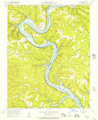
1956 · Mincy
USGS Topo · 1:24,000