
1956 Map of Garber
USGS Topo · Published 1957About this map
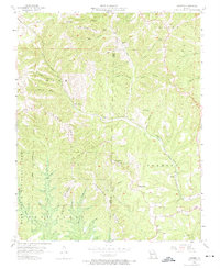
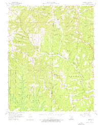
Marvel Cave and the folklore of the Ozarks anchor this mid-century survey of the White River hills along the Stone and Taney County border. The landscape is defined by the literary and historical legacy of the region, specifically at Inspiration Point, where Old Matts Cabin and the Shepherd of the Hills Museum mark the settings of Harold Bell Wright's famous novel. These landmarks sit amidst a topography of high ridges like Indian Ridge and Compton Ridge, dissected by numerous hollows such as Mutton Fall Hollow and Deer Lick Hollow.
Find a feature on this map
51 named features on this map. Tap any name to fly to it.
Don’t see what you’re looking for? This feature index may not catch every label — zoom into the map to look around manually.
Map Details
Editions of this 1956 Garber Map
3 editions found
Other maps of this area

1907 · Forsyth
USGS Topo · 1:125,000

1945 · Harrison
USGS Topo · 1:250,000

1949 · Harrison
USGS Topo · 1:250,000

1950 · Garber
USGS Topo · 1:24,000

1954 · Harrison
USGS Topo · 1:250,000

1955 · Day
USGS Topo · 1:24,000

1956 · Lampe
USGS Topo · 1:24,000

1956 · Table Rock Dam
USGS Topo · 1:24,000
1956 · Spokane
USGS Topo · 1:24,000
1956 · Reeds Spring
USGS Topo · 1:24,000