
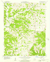
1955 Map of Day
USGS Topo · Published 1956About this map
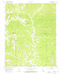
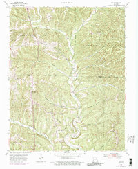
Bull Creek carves a deep path through the Ozark Plateau, defining the rugged landscape of the Mark Twain National Forest along the border of Christian and Taney Counties. The mid-century settlement pattern in these hills is characterized by small community centers and rural congregations, including Oak Ridge Ch, New Haven Ch, and Pleasant Shade Ch. Near the Day settlement, the topography is punctuated by karst features like Jackson Cave and Anderson Cave, reflecting the subterranean drainage systems common to this limestone region.
Find a feature on this map
38 named features on this map. Tap any name to fly to it.
Don’t see what you’re looking for? This feature index may not catch every label — zoom into the map to look around manually.
Map Details
Editions of this 1955 Day Map
4 editions found

Other maps of this area

1907 · Forsyth
USGS Topo · 1:125,000

1945 · Harrison
USGS Topo · 1:250,000

1949 · Harrison
USGS Topo · 1:250,000

1950 · Garber
USGS Topo · 1:24,000

1954 · Harrison
USGS Topo · 1:250,000

1955 · Garrison
USGS Topo · 1:24,000
1955 · Selmore
USGS Topo · 1:24,000
1955 · Chadwick
USGS Topo · 1:24,000
1955 · Highlandville
USGS Topo · 1:24,000

1956 · Garber
USGS Topo · 1:24,000