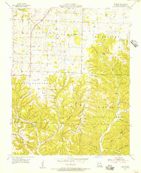
1955 Map of Selmore
USGS Topo · Published 1956About this map
The Ozark plateau south of Ozark, Missouri, is defined by the sharp transition from the rolling uplands of Finley and McCracken townships into the dissected ridges of the Mark Twain National Forest. The 1955 landscape shows a network of small family burial grounds and country churches, such as Adams Cem and Victory Ch, which anchored the rural community before the expansion of modern infrastructure. Economic activity is visible through the Alma Mine and Tuttle Mine, along with a Fish Hatchery located near the headwaters of Bull Creek. Steep topography is named through local landmarks like Green Mound Ridge and Hancock Ridge, while several "hollows" like Medlock Hollow and Flyblow Hollow indicate the deeply carved drainage patterns typical of this Christian County region.
Find a feature on this map
34 named features on this map. Tap any name to fly to it.
Don’t see what you’re looking for? This feature index may not catch every label — zoom into the map to look around manually.
Map Details
Editions of this 1955 Selmore Map
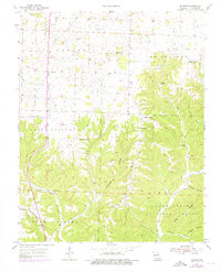
2 editions found
Other maps of this area

1884 · Springfield
USGS Topo · 1:125,000

1886 · Springfield
USGS Topo · 1:125,000

1907 · Forsyth
USGS Topo · 1:125,000

1937 · Ozark
USGS Topo · 1:48,000

1943 · Ozark
USGS Topo · 1:62,500

1945 · Harrison
USGS Topo · 1:250,000

1945 · Ozark
USGS Topo · 1:62,500

1949 · Harrison
USGS Topo · 1:250,000

1954 · Harrison
USGS Topo · 1:250,000

1954 · Springfield
USGS Topo · 1:250,000