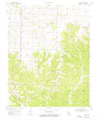
1955 Map of Selmore
USGS Topo · Published 1976About this map
Selmore serves as a central point in this Christian County landscape, where the Ozark plateau transitions into a series of deep hollows and ridges. The terrain is marked by significant extractive history, evidenced by the Alma Mine and Tuttle Mine situated north of the Mark Twain National Forest. Water sources like Jackson Spring and Cash Spring define the drainage patterns that feed into Bull Creek, while the rural social fabric of the mid-20th century is preserved through numerous small community centers such as Victory Ch and Prospect Ch. Local genealogy is well-documented through scattered family and community burial grounds, including Adams Cem and Cobb Cem. The southern portion of the map is dominated by the ridges of South Galloway and the protected timberlands, illustrating the region's balance between small-scale agriculture and forest conservation.
Find a feature on this map
37 named features on this map. Tap any name to fly to it.
Don’t see what you’re looking for? This feature index may not catch every label — zoom into the map to look around manually.
Map Details
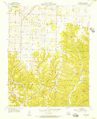
Editions of this 1955 Selmore Map
2 editions found
Other maps of this area

1884 · Springfield
USGS Topo · 1:125,000

1886 · Springfield
USGS Topo · 1:125,000

1907 · Forsyth
USGS Topo · 1:125,000

1937 · Ozark
USGS Topo · 1:48,000

1943 · Ozark
USGS Topo · 1:62,500

1945 · Harrison
USGS Topo · 1:250,000

1945 · Ozark
USGS Topo · 1:62,500

1949 · Harrison
USGS Topo · 1:250,000

1954 · Harrison
USGS Topo · 1:250,000

1954 · Springfield
USGS Topo · 1:250,000