
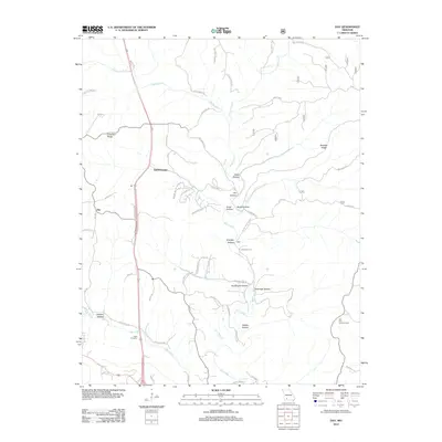
1955 Map of Day
USGS Topo · Published 1986About this map
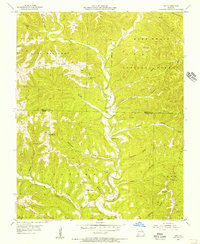
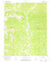
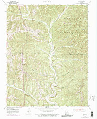
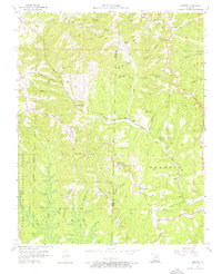
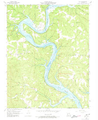
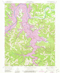
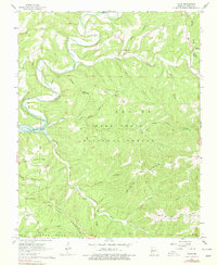
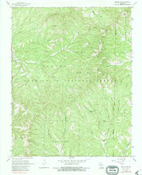
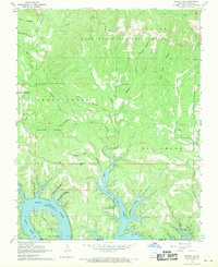
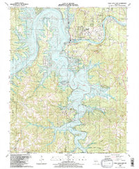
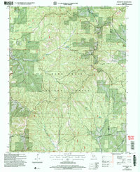
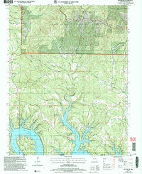
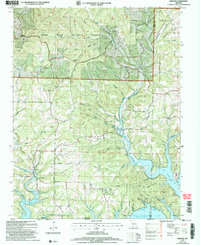
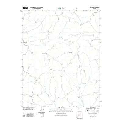
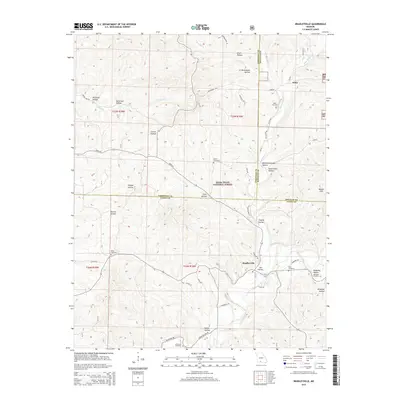
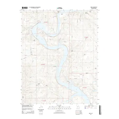
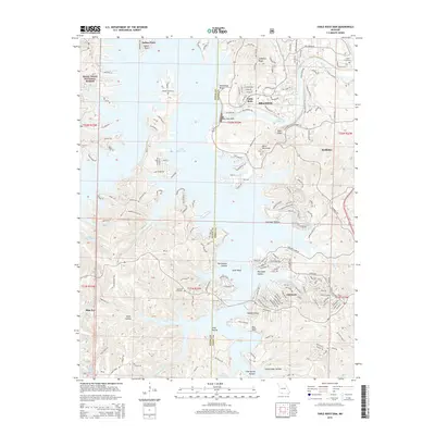
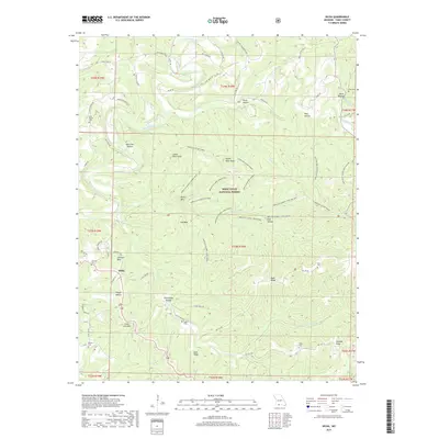
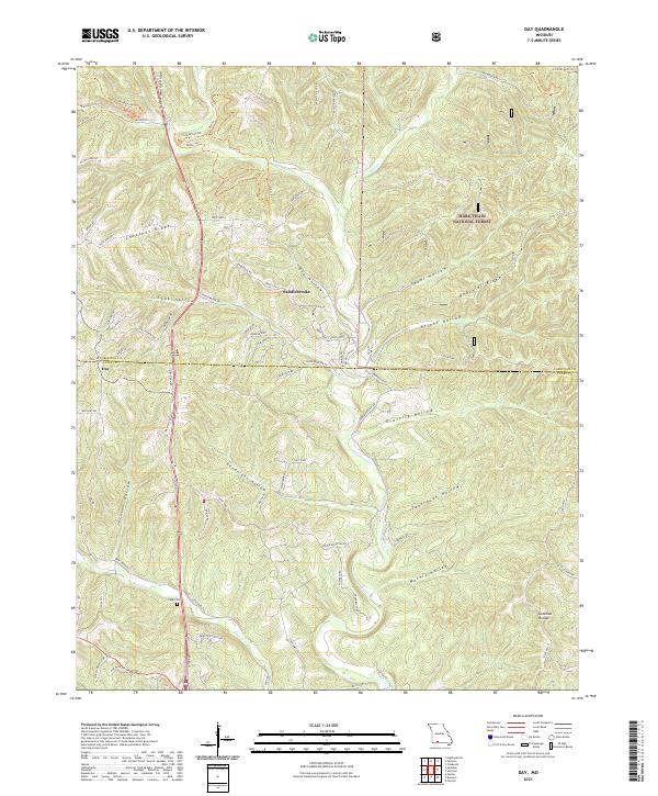
Chestnut Ridge serves as a dominant topographical spine through this portion of the Ozarks, dividing the drainages of Woods Fork Bull Creek and Bear Creek. The map records a rural landscape defined by narrow hollows and high ridges, where community life centered on small nodes like Day and Cook. A cluster of country churches, including New Haven Ch, Oak Ridge Ch, and Pleasant Shade Ch, are scattered across the terrain, often located near family-named landmarks like Goodnight Hollow and Jackson Hollow. The eastern portion of the sheet is largely occupied by the Mark Twain National Forest, punctuated by the Hilltop Lookout Tower and natural features such as Anderson Cave. The inclusion of Nash Cem provides a specific point of interest for genealogists tracing early families in the borderlands of Christian and Taney counties.
Find a feature on this map
33 named features on this map. Tap any name to fly to it.
Don’t see what you’re looking for? This feature index may not catch every label — zoom into the map to look around manually.
Map Details
Editions of this 1955 Day Map
4 editions found
Historical Maps of Day Through Time
55 maps found

1943 Protem
Taney County, MO

1950 Garber
Taney County, MO
1955 Day
Taney County, MO
1956 Garber
Taney County, MO
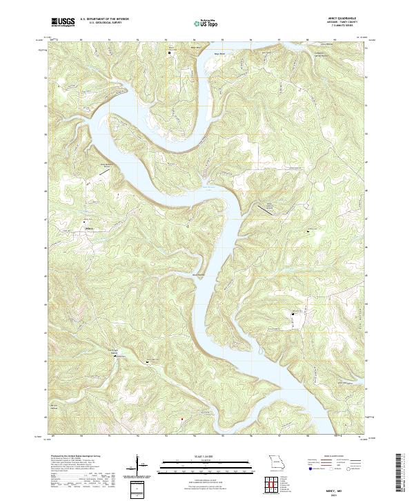
1956 Mincy
Taney County, MO
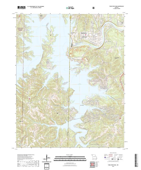
1956 Table Rock Dam
Taney County, MO
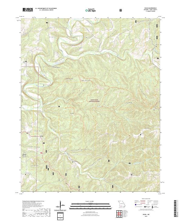
1967 Hilda
Taney County, MO
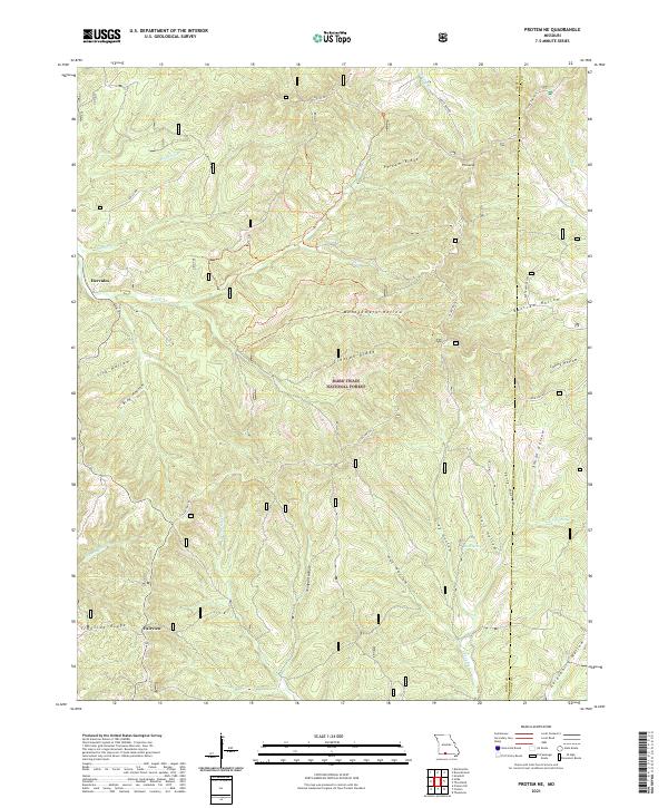
1968 Protem NE
Taney County, MO
1968 Protem SW
Taney County, MO
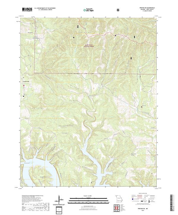
1968 Protem
Taney County, MO
1982 Bradleyville
Taney County, MO
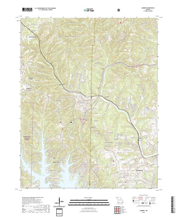
1989 Garber
Taney County, MO
1989 Table Rock Dam
Taney County, MO
2004 Bradleyville
Taney County, MO
2004 Day
Taney County, MO
2004 Hilda
Taney County, MO
2004 Protem NE
Taney County, MO
2004 Protem SW
Taney County, MO
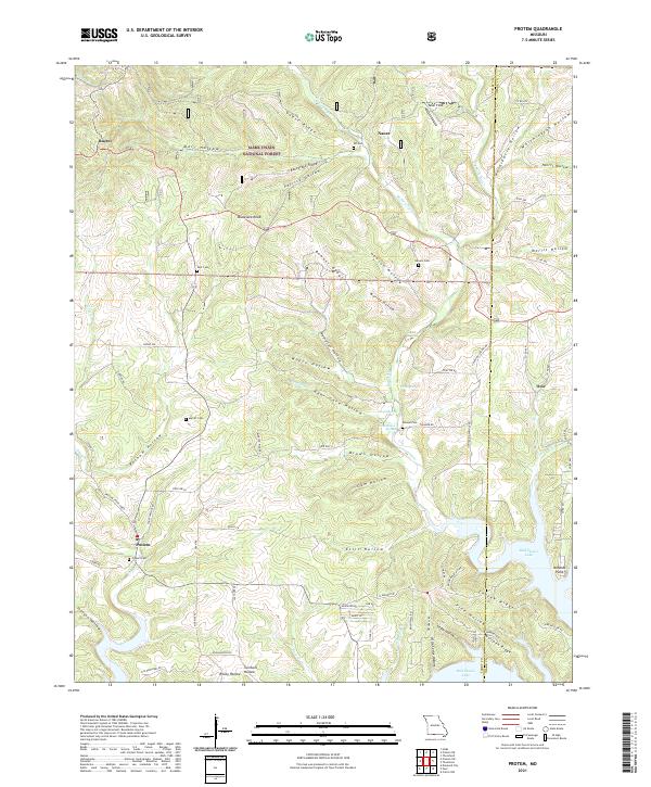
2004 Protem
Taney County, MO
2012 Bradleyville
Taney County, MO
2012 Day
Taney County, MO
2012 Garber
Taney County, MO
2012 Hilda
Taney County, MO
2012 Mincy
Taney County, MO
2012 Protem NE
Taney County, MO
2012 Protem SW
Taney County, MO
2012 Protem
Taney County, MO
2012 Table Rock Dam
Taney County, MO
2015 Bradleyville
Taney County, MO
2015 Day
Taney County, MO
2015 Garber
Taney County, MO
2015 Hilda
Taney County, MO
2015 Mincy
Taney County, MO
2015 Protem NE
Taney County, MO
2015 Protem SW
Taney County, MO
2015 Protem
Taney County, MO
2015 Table Rock Dam
Taney County, MO
2017 Bradleyville
Taney County, MO
2017 Day
Taney County, MO
2017 Garber
Taney County, MO
2017 Hilda
Taney County, MO
2017 Mincy
Taney County, MO
2017 Protem NE
Taney County, MO
2017 Protem SW
Taney County, MO
2017 Protem
Taney County, MO
2017 Table Rock Dam
Taney County, MO
2021 Bradleyville
Taney County, MO
2021 Day
Taney County, MO
2021 Garber
Taney County, MO
2021 Hilda
Taney County, MO
2021 Mincy
Taney County, MO
2021 Protem NE
Taney County, MO
2021 Protem SW
Taney County, MO
2021 Protem
Taney County, MO
2021 Table Rock Dam
Taney County, MO