
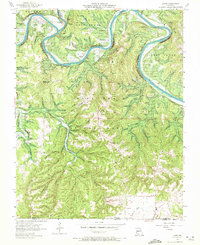
1956 Map of Lampe
USGS Topo · Published 1957About this map
White River oxbows dominate this mid-century survey of the White River Hills, just before the landscape was fundamentally altered by the rising waters of Table Rock Lake. The rugged terrain of the Mark Twain National Forest is defined by sharp elevation changes, from the heights of Bread Tray Mountain and Naked Joe Bald down to the deep incisions of Indian Creek and Spring Creek.
Find a feature on this map
63 named features on this map. Tap any name to fly to it.
Don’t see what you’re looking for? This feature index may not catch every label — zoom into the map to look around manually.
Map Details
Editions of this 1956 Lampe Map
3 editions found
Other maps of this area

1900 · Eureka Springs
USGS Topo · 1:125,000

1901 · Eureka Springs
USGS Topo · 1:125,000

1904 · Harrison
USGS Topo · 1:125,000

1905 · Harrison
USGS Topo · 1:125,000

1907 · Forsyth
USGS Topo · 1:125,000

1927 · Shell Knob
USGS Topo · 1:62,500

1945 · Harrison
USGS Topo · 1:250,000

1949 · Harrison
USGS Topo · 1:250,000

1950 · Shell Knob
USGS Topo · 1:62,500

1950 · Garber
USGS Topo · 1:24,000