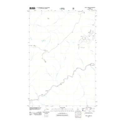
2011 Map of Holly Creek
USGS Topo · Published 2011About this map
The Lochsa River carves a central path through this wilderness landscape in northern Idaho, serving as the primary corridor for movement along its winding banks. This 2011 survey captures a region defined by high mountain peaks and a network of historic routes, most notably the Lolo Trl, which traverses the northern ridges near Indian Grave Peak and Hungry Point. The map details various backcountry facilities including the Eagle Mountain Pack Bridge and several remote outposts like Castle Butte Camp and Greensward Camp.
Find a feature on this map
28 named features on this map. Tap any name to fly to it.
Don’t see what you’re looking for? This feature index may not catch every label — zoom into the map to look around manually.
Map Details
Editions of this 2011 Holly Creek Map
This is the sole edition of this map. No revisions or reprints were ever made.
Other maps of this area
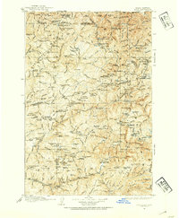
1911 · Lolo
USGS Topo · 1:250,000
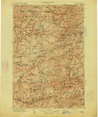
1913 · Lolo
USGS Topo · 1:250,000
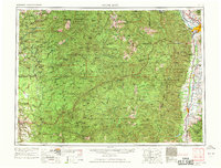
1956 · Hamilton
USGS Topo · 1:250,000
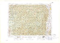
1959 · Hamilton
USGS Topo · 1:250,000
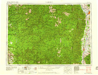
1960 · Hamilton
USGS Topo · 1:250,000
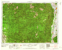
1964 · Hamilton
USGS Topo · 1:250,000
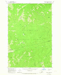
1965 · Lookout Peak
USGS Topo · 1:24,000
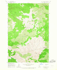
1965 · Cook Mountain
USGS Topo · 1:24,000
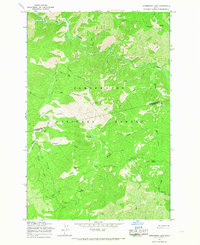
1965 · Horseshoe Lake
USGS Topo · 1:24,000
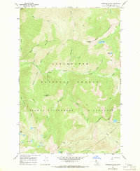
1966 · Greenside Butte
USGS Topo · 1:24,000