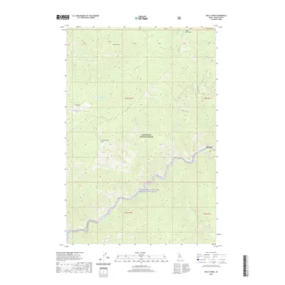
2020 Map of Holly Creek
USGS Topo · Published 2020About this map
The Middle Fork Clearwater Wild and Scenic River carves a deep valley through this portion of the Clearwater National Forest in Idaho County. This landscape is defined by its dramatic elevation changes and historic transit corridors, most notably the Lolo Trl, which traverses the high ridges. Topographical landmarks such as Castle Butte and Bald Mtn stand as prominent sentinels over the drainage basins of Holly Cr and Weitas Cr. The presence of the Eagle Mountain Pack Bridge at the confluence of Eagle Mountain Cr and the main river indicates a backcountry infrastructure tailored for trail-based access rather than traditional road networks. This survey documents a wilderness area where human imprint is restricted to fire lookouts, remote peaks like Indian Grave Peak, and forest service routes like Lost Park Rd 5601.
Find a feature on this map
39 named features on this map. Tap any name to fly to it.
Don’t see what you’re looking for? This feature index may not catch every label — zoom into the map to look around manually.
Map Details
Editions of this 2020 Holly Creek Map
This is the sole edition of this map. No revisions or reprints were ever made.
Other maps of this area
1911 · Lolo
USGS Topo · 1:250,000
1913 · Lolo
USGS Topo · 1:250,000
1956 · Hamilton
USGS Topo · 1:250,000
1959 · Hamilton
USGS Topo · 1:250,000
1960 · Hamilton
USGS Topo · 1:250,000
1964 · Hamilton
USGS Topo · 1:250,000
1965 · Lookout Peak
USGS Topo · 1:24,000
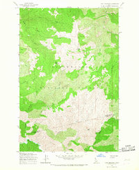
1965 · Cook Mountain
USGS Topo · 1:24,000
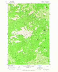
1965 · Horseshoe Lake
USGS Topo · 1:24,000
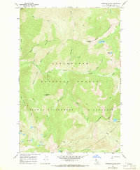
1966 · Greenside Butte
USGS Topo · 1:24,000