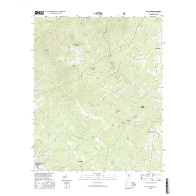
2017 Map of Holly Springs
USGS Topo · Published 2017About this map
Sumter National Forest and the Chattahoochee National Forest converge in this corner of South Carolina and Georgia, where the Chauga River carves a deep path through the landscape. The river is the central artery for a series of local landmarks, including Cobbs Bridge, Horseshoe Bridge, Davis Bridge, and Jenkins Bridge, which facilitate travel between settlements like Holly Springs and Madison. The terrain is characterized by a high concentration of named peaks such as Rockhouse Mtn, Steps Mtn, and Grassy Mtn, defining the winding paths of rural roads like Miller Rd and Unity Church Rd.
Find a feature on this map
98 named features on this map. Tap any name to fly to it.
Don’t see what you’re looking for? This feature index may not catch every label — zoom into the map to look around manually.
Map Details
Editions of this 2017 Holly Springs Map
This is the sole edition of this map. No revisions or reprints were ever made.
Other maps of this area

1886 · Walhalla
USGS Topo · 1:125,000

1892 · Walhalla
USGS Topo · 1:125,000

1896 · Walhalla
USGS Topo · 1:125,000

1954 · Greenville
USGS Topo · 1:250,000

1957 · Tugaloo Lake
USGS Topo · 1:24,000
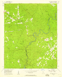
1957 · Rainy Mountain
USGS Topo · 1:24,000

1958 · Greenville
USGS Topo · 1:250,000
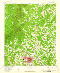
1959 · Walhalla
USGS Topo · 1:24,000
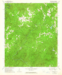
1961 · Whetstone
USGS Topo · 1:24,000
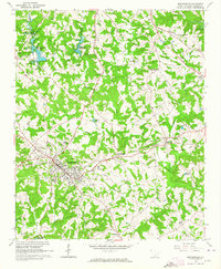
1963 · Westminster
USGS Topo · 1:24,000