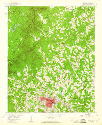
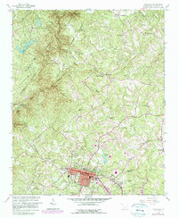
1959 Map of Walhalla
USGS Topo · Published 1960About this map
Walhalla stands at the foot of the Blue Ridge foothills, serving as a hub for the textile and timber economies of Oconee County during the late 1950s. The map illustrates the town’s significant expansion southward toward West Union, balanced by the preserved wilderness of Sumter National Forest to the northwest. A fascinating glimpse into unfinished infrastructure is visible at Stumphouse Mtn Tunnel, alongside the Saddle Tunnel (Abandoned) and Middle Tunnel (Abandoned), which reflect the 19th-century efforts to pierce the mountains for a rail line that was never completed.
Find a feature on this map
60 named features on this map. Tap any name to fly to it.
Don’t see what you’re looking for? This feature index may not catch every label — zoom into the map to look around manually.
Map Details
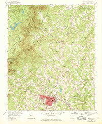
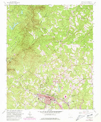
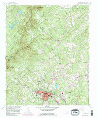
Editions of this 1959 Walhalla Map
5 editions found
Other maps of this area

1886 · Walhalla
USGS Topo · 1:125,000

1888 · Pickens
USGS Topo · 1:125,000

1892 · Walhalla
USGS Topo · 1:125,000

1894 · Pickens
USGS Topo · 1:125,000

1896 · Walhalla
USGS Topo · 1:125,000

1954 · Greenville
USGS Topo · 1:250,000

1958 · Greenville
USGS Topo · 1:250,000

1958 · Seneca
USGS Topo · 1:24,000

1959 · Salem
USGS Topo · 1:24,000
1959 · Tamassee
USGS Topo · 1:24,000