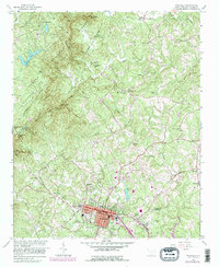
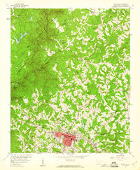
1959 Map of Walhalla
USGS Topo · Published 1990About this map
Stumphouse Mtn Tunnel and the nearby Isaqueena Falls anchor the rugged western topography of this Oconee County survey. The landscape transitions from the protected timberlands of the Sumter National Forest and Oconee State Park into the established street grids of Walhalla and West Union. Local industry and commerce are marked by the Norfolk Southern Railway corridor and the historical site at Oconee Station.
Find a feature on this map
45 named features on this map. Tap any name to fly to it.
Don’t see what you’re looking for? This feature index may not catch every label — zoom into the map to look around manually.
Map Details
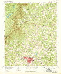
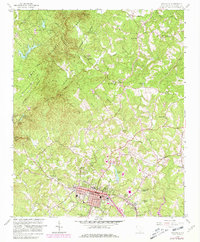
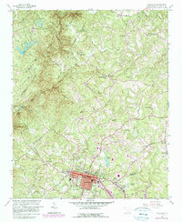
Editions of this 1959 Walhalla Map
5 editions found
Other maps of this area

1886 · Walhalla
USGS Topo · 1:125,000

1888 · Pickens
USGS Topo · 1:125,000

1892 · Walhalla
USGS Topo · 1:125,000

1894 · Pickens
USGS Topo · 1:125,000

1896 · Walhalla
USGS Topo · 1:125,000

1954 · Greenville
USGS Topo · 1:250,000

1958 · Greenville
USGS Topo · 1:250,000

1958 · Seneca
USGS Topo · 1:24,000

1959 · Salem
USGS Topo · 1:24,000
1959 · Walhalla
USGS Topo · 1:24,000