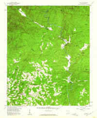
1959 Map of Salem
USGS Topo · Published 1960About this map
Sumter National Forest dominates this landscape, where the confluence of the Whitewater River, Thompson River, and Toxaway River forms the headwaters of the Keowee River. The river valleys are marked by river-crossings like Chapman Bridge and Shallow Ford Bridge, long before the creation of modern reservoirs altered the basin's geography. Near the northern boundary, the settlements of Jocassee and Camp Jocassee sit nestled at the river forks, while the town of Salem serves as the primary hub in the south.
Find a feature on this map
50 named features on this map. Tap any name to fly to it.
Don’t see what you’re looking for? This feature index may not catch every label — zoom into the map to look around manually.
Map Details
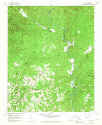
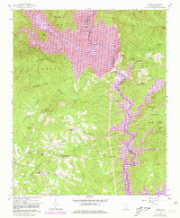
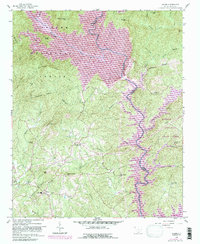
Editions of this 1959 Salem Map
5 editions found

Other maps of this area

1886 · Walhalla
USGS Topo · 1:125,000

1888 · Pickens
USGS Topo · 1:125,000

1891 · Cowee
USGS Topo · 1:125,000

1892 · Walhalla
USGS Topo · 1:125,000

1894 · Pickens
USGS Topo · 1:125,000

1896 · Walhalla
USGS Topo · 1:125,000

1897 · Cowee
USGS Topo · 1:125,000

1905 · Pisgah
USGS Topo · 1:125,000

1906 · Pisgah
USGS Topo · 1:125,000

1907 · Cowee
USGS Topo · 1:125,000