1959 Map of Salem
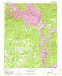
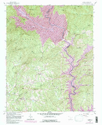
USGS Topo · Published 1981About this map
The Sumter National Forest dominates the northwestern portion of this region, where the Whitewater River and Thompson River converge to form the upper reaches of the Keowee watershed. By the time of the 1980 photorevision, the landscape had been fundamentally reshaped by the expansion of Lake Jocassee and Lake Keowee, which submerged original river valleys and created a complex new shoreline.
Find a feature on this map
50 named features on this map. Tap any name to fly to it.
Don’t see what you’re looking for? This feature index may not catch every label — zoom into the map to look around manually.
Map Details
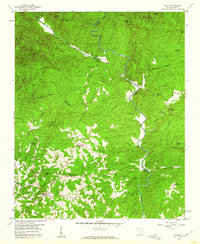
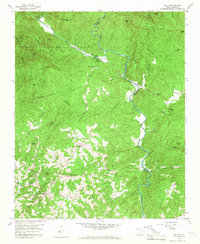
Editions of this 1959 Salem Map
5 editions found

Other maps of this area

1886 · Walhalla
USGS Topo · 1:125,000

1888 · Pickens
USGS Topo · 1:125,000

1891 · Cowee
USGS Topo · 1:125,000

1892 · Walhalla
USGS Topo · 1:125,000

1894 · Pickens
USGS Topo · 1:125,000

1896 · Walhalla
USGS Topo · 1:125,000

1897 · Cowee
USGS Topo · 1:125,000

1905 · Pisgah
USGS Topo · 1:125,000

1906 · Pisgah
USGS Topo · 1:125,000

1907 · Cowee
USGS Topo · 1:125,000